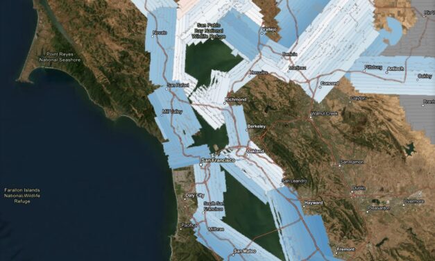
Change Detection Made Easier with New Lidar Survey
A new high-resolution lidar dataset gives planners a powerful tool to track flooding, levees, and wetland changes across the estuary.
Read More

City & County Initiatives

Bay Area Regional Initiatives

Resilience Hub
A new high-resolution lidar dataset gives planners a powerful tool to track flooding, levees, and wetland changes across the estuary.
Read More
A landmark study reveals how oyster reefs and eelgrass can build habitat and fight sea level rise in San Francisco Bay — if scaled up fast enough.
Read More
After four breaches, imports of clean fill, and the addition of rocks, bird islands and bridges the South Bay’s Shoreline Park has more climate resilient environs.
Read More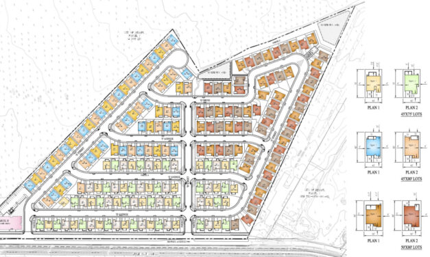
The Bay Area needs more affordable housing, but would 196-homes or a buffer against sea level serve local needs better in the years ahead?
Read More
At Coyote Hills Regional Park, a sweeping 170-acre expansion is reshaping the landscape where wetlands, oak savannas, and historic farmlands meet.
Read More
The multi-agency BRRIT has streamlined wetland permitting, but ongoing federal cuts could slow its progress.
Read More
We tour Pacheco Marsh, a once-rough patch of Bay shoreline that is now a green refuge for walkers, birds, and even paddleboarders.
Read More
Three million + cubic yards of tunnel muck from a subway extension could help raise South Bay marshes above rising sea levels.
Read More
A May 2024 environmental conference covers levees, seawalls, reefs, wetlands, and other climate resilient shoreline designs for the Bay Area.
Read More
A closely-watched co-design process has produced a hard-won plan for new nature-based, flood protection infrastructure and shoreline access points for North Richmond.
Read More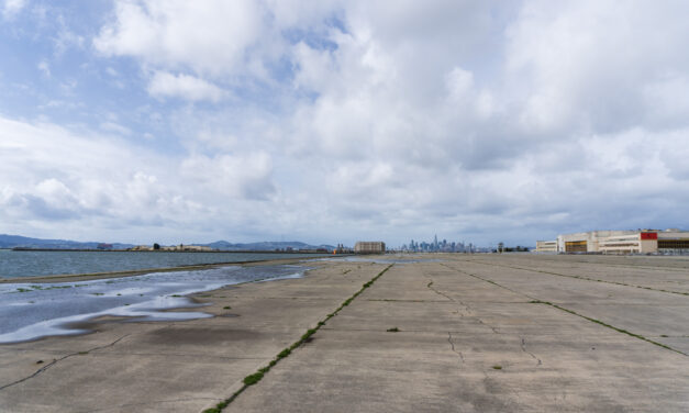
The City of Alameda is planning to de-pave an area of the former Alameda Naval Air station the size of nine football fields and transform it into an ecological nature park.
Read More
Shoreline residents from San Francisco and Contra Costa counties could soon be better equipped to influence local planning decisions.
Read More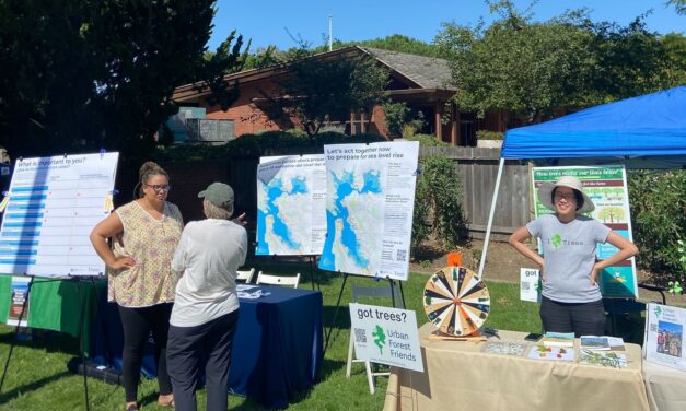
Greenbelt Alliance worked with data and communities to identify 18 sites where social vulnerability, climate hazards and conservation priorities overlapped, then winnowed them down to five hot spots.
Read More
Regional agencies made splashy headlines when they released a joint study on the likely cost of protecting Bay Area shores from rising seas: $110 billion. But the top-line number didn’t offer much insight into the complexities. A new inventory and map from the same agencies is much more revealing.
Read More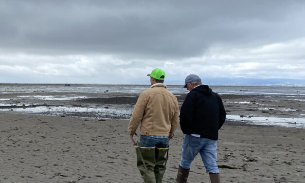
The region is obsessing over beach-building. Whether it’s a degraded salt marsh in downtown San Rafael or a sliver of wetlands near the old San Francisco shipyards, local practitioners are adding beaches as nature-based buffers against waves and rising seas to adaptation projects around the Bay.
Read More
A plan to protect SFO could become a critical link in a chain of resilience projects along the San Mateo County bayshore. But projects that cross jurisdictional borders, get complicated.
Read More
On a drizzly Thursday in April, dozens gathered beside a weedy San Jose shoreline to break ground on four miles of new levee and 2,900 acres of restored habitats, a future buffer from the rising Bay.
Read More