Category: Design
Ashland Trades in Car Lot for Community Zocalo
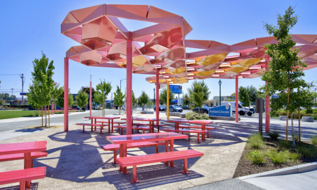
An unincorporated area of Alameda County identified by local government as in need of more park space got a new, climate resilient gathering spot and “town square” this summer.
Hard Park Going Soft in Alameda
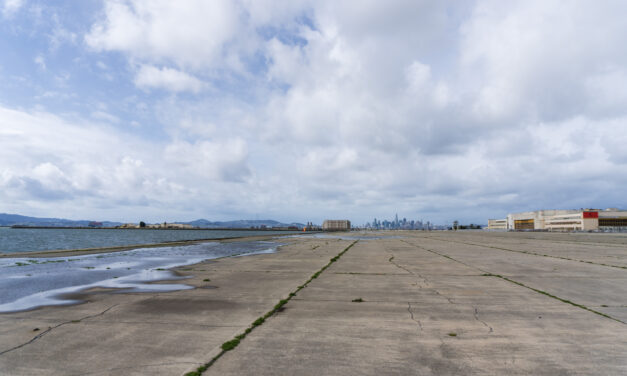
The City of Alameda is planning to de-pave an area of the former Alameda Naval Air station the size of nine football fields and transform it into an ecological nature park.
Layer Cake of Risk Mapped for Five Bay Area Hotspots
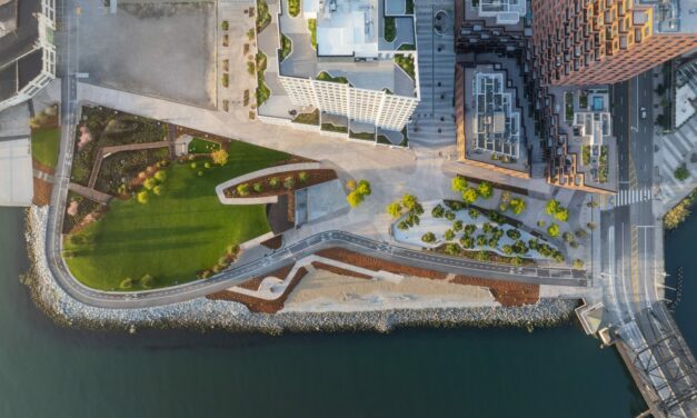
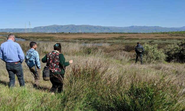
Greenbelt Alliance worked with data and communities to identify 18 sites where social vulnerability, climate hazards and conservation priorities overlapped, then winnowed them down to five hot spots.

All Stories
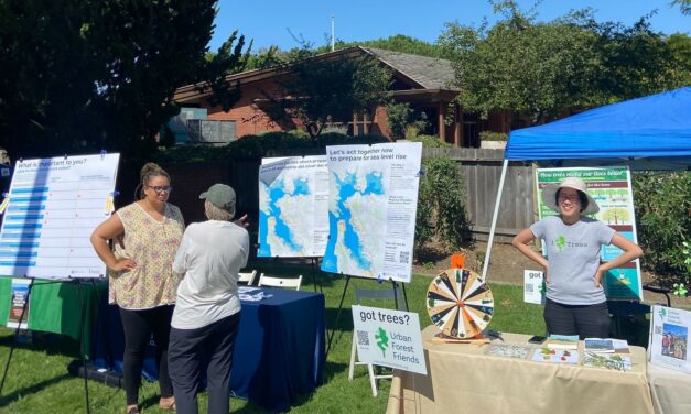
Testing Adaptation Limits: Mariposa Trails, Marin Roads & San Francisco Greenspace
In KneeDeep’s new column, The Practice, we daylight how designers, engineers and planners are helping communities adapt to a changing climate.
Ashland Trades in Car Lot for Community Zocalo
An unincorporated area of Alameda County identified by local government as in need of more park space got a new, climate resilient gathering spot and “town square” this summer.
Hard Park Going Soft in Alameda
The City of Alameda is planning to de-pave an area of the former Alameda Naval Air station the size of nine football fields and transform it into an ecological nature park.
Layer Cake of Risk Mapped for Five Bay Area Hotspots
Greenbelt Alliance worked with data and communities to identify 18 sites where social vulnerability, climate hazards and conservation priorities overlapped, then winnowed them down to five hot spots.
Future-Proof Homes?
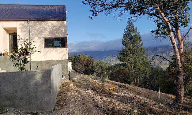
Oona Khan dreams about her home of the future, after losing her Malibu retreat to fire. Caught in a quagmire of legal battles with Southern California Edison, and surging construction costs, Khan is still waiting to start construction.
The Case for Climate Castles
As climate change throws more extreme events at us, isn’t it time to think bigger, bolder, further ahead? Six young architects draw climate-resilient castles.
Could Textured Tiles Bring SF Seawall to Life?
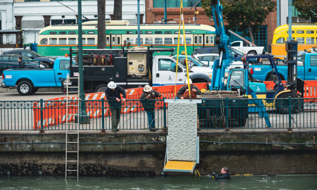
Buried in the blueprints for a refurbished San Francisco seawall is a cutting-edge experiment in texturing pieces of this buttress against sea level rise so they attract native species.
Flipping the Switch on All-Electric Housing
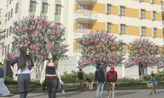
An East Palo Alto affordable housing project is at the forefront of a trend cities across California are trying to encourage: switching from natural gas appliances to electric ones. But the transition isn’t without headaches.
Half a Dozen Horizontal Levees in the Works
The specter of sea level rise, perpetual drought, and disappearing wetlands has put many sizes and shapes of horizontal levee on the region’s shoreline adaptation maps. What’s next?
Relocating the Bay Trail at Alameda Point
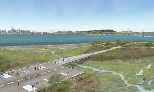
Three sites along the East Bay shoreline will demonstrate potential pathways for shoreline adaptation, as part of the San Francisco Bay Trail Risk Assessment and Adaptation Prioritization Plan led by the East Bay Regional Park District. One site called the Northwest Territory, planned as a new district park, will feature a Bay Trail extension around the full extent of Alameda Point.
Bay Trail Retreat at Bothin Marsh
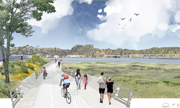
The Bay Trail connecting Sausalito and Mill Valley is a bustling pathway where recreational bicyclists, bike commuters, and pedestrians all mix amidst the bayfront marsh scenery of the Bothin Marsh Open Space Preserve. Around thirty times per year, though, this scene looks dramatically different, as high tides flood the area with seawater, making the path impassable.
10 Ways to Field a Flood in Marin City
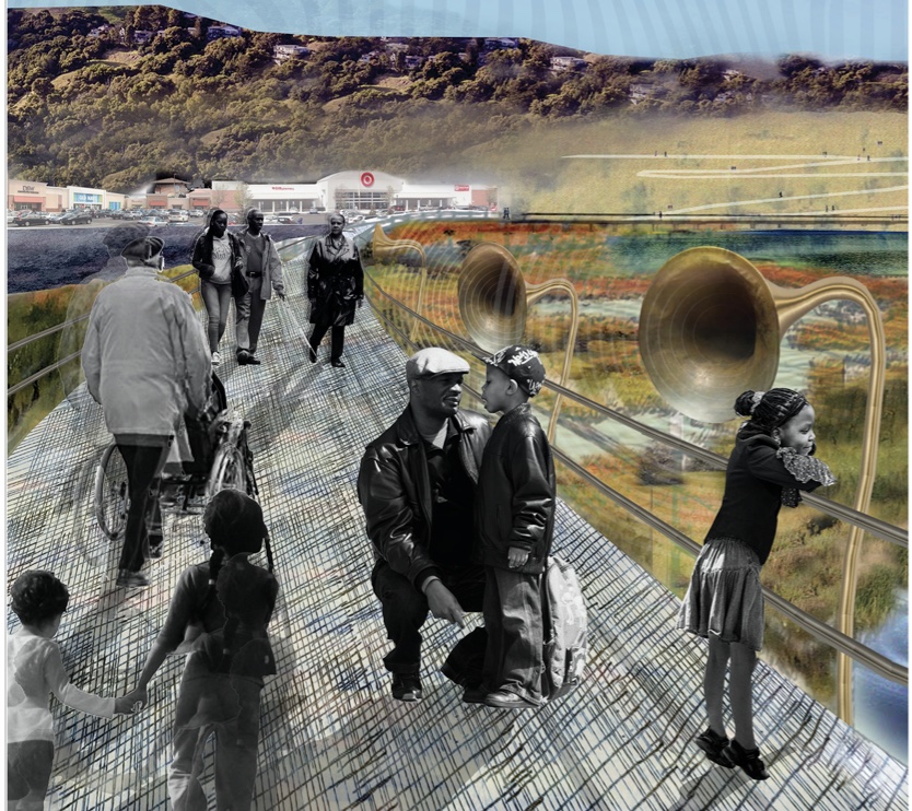
Ten future reconfigurations of a Marin City lagoon, park and highway site subject to flooding came from UC Berkeley students last fall. The students from Dr. Kristina Hill’s class shared their plans with the community and entered a national competition. “Marin City residents want access to nature for their kids, protection from flooding and safe travel in and out of their community. Communities like Marin City should get resilience investments first, because they’ve been underserved historically,” said Hill.


