

Will El Niño Winter Bring Climate Chickens Home to Roost?
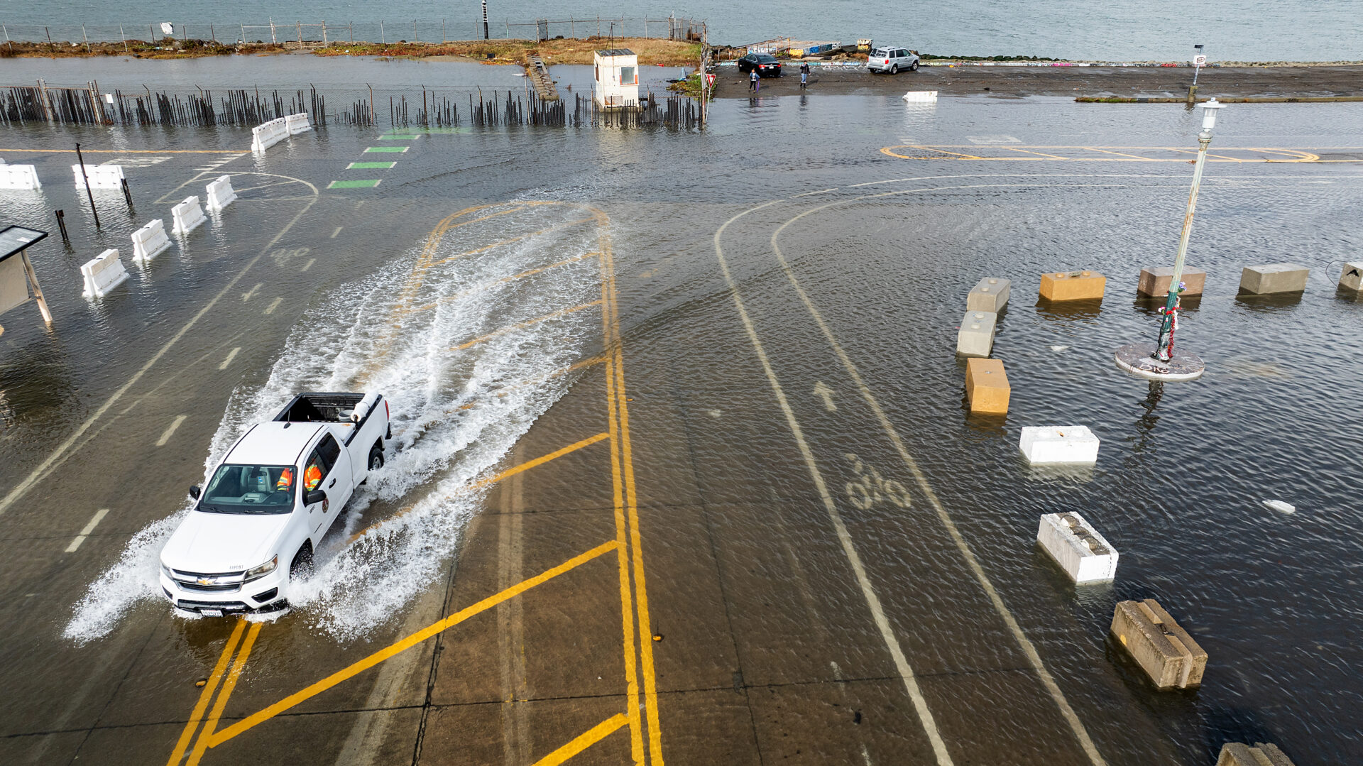
King tide in Alameda. Photo: Noah Berger
Flooded roads and runways are more likely than usual to ensnare Bay Area holiday travelers this year, according to the author of a new report from the UC Davis Road Ecology Center that identifies the locations at greatest risk of inundation due to this year’s unusual atmospheric conditions.
The effects of a warming and expanding ocean, Kelvin waves rolling up the West Coast every few weeks, and king tides — due this year from November 21-28, December 20-27, and January 17-24 — will stack on top of each other, potentially raising sea levels by more than two feet, explains the center’s director, Fraser Shilling. And that doesn’t even account for the storms expected to drench California this winter thanks to an extraordinarily strong El Niño.
“Wave action, wind, storm tracks — all of that pushes water into the Bay because the prevailing wind is from the west,” says Shilling. “That could add another 10 inches or so to the sea level.”
Rain washing into the Bay from the watershed could add even more.
The Road Ecology Center’s report, titled Coastal Flooding Risks for California: A Special Report for Winter 26-27, identifies San Francisco International Airport, Highway 37, and several stretches of Highways 101 and 80, including the eastern approach to the Bay Bridge, as at particular risk, along with low-lying communities in Marin County and the South Bay.
According to the report, some of these areas, including SFO, pose “low-probability, high-impact” risks. For example, SFO has not yet built a permanent flood protection system, relying instead on temporary flood barriers and pumps.
“If [those measures] do their job, it seems possible or likely that there won’t be serious impacts,” says Shilling. “But if something fails, like just one piece of the temporary flood wall, or the power shuts down for one of the pumps, then all that water comes in. So that’s low probability, but if it happens, the impact is big.”
Other Recent Posts
Your Nine-County Guide to Bay Area Storm Prep
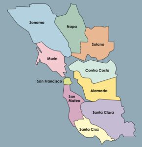
KneeDeep has you covered with this nine-county list of resources available in case of storm-related emergencies this winter.
Check Your Project Status: It’s All Here
The Bay Adapt Project and Funding Navigator is a first-of-its-kind, one-stop shop where everyone can find project statuses and funding ideas.
A Man Who Wears Many Hats
The leader of the San Mateo RCD’s Forest Health and Fire program says his mantra is to “be open to being wrong.”
Solano Samples Air And Finds Dirt
After helping shut down a polluting Vallejo cement plant, residents are working to expand community-led air quality monitoring across Solano County.
Who’s In Charge? What Projects Make the Cut?
The region has made progress planning for sea level rise, but who will coordinate a $100 billion effort over the coming decades remains an open question.
A Bulwark for San Francisco’s Skyscrapers?
A new joint federal and local plan maps out 13 strategies to protect 7.5 miles of San Francisco’s waterfront from sea level rise and future flooding.
Inside SLR Baseball, My Summit Takeaways
A gathering of 300+ Bay Area climate leaders highlighted growing momentum on sea level rise planning — and the challenges that could slow progress.
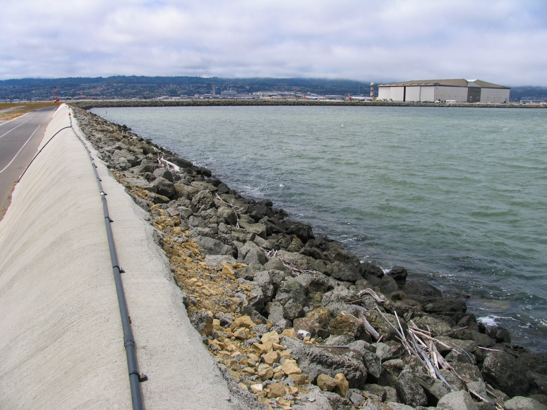
SFO’s existing shoreline protection system consists of vinyl sheet pile walls, concrete seawalls, and concrete-capped earthen berms that have been built over the decades. Photo: ESA
Highway 37, which already floods regularly, is more of a high-probability, high-impact scenario, according to Shilling.
“The best-case scenario is that water comes on the highway at high tide and goes off,” he says. “But another possible scenario is the water just stays during a whole storm.”
In a worst-case scenario, one of the levees in the area could break. “If they break, then 37’s closed,” he says. “That’s why we’ve spent the last 10 years trying to get it elevated or moved out of the marsh altogether, to avoid this kind of scenario.”
Shilling sees a potential silver lining in all of the expected storm clouds.
“Maybe we need more extreme flooding and heavy winters like this to get people, and government especially, to pay real attention to climate change,” he says. “The amount of resources that are devoted are a tiny proportion of what’s needed” to protect property and infrastructure from climate change-driven impacts. “Maybe we as a society need some rough wake-up calls before we actually start paying attention and forcing our elected officials to raise more money and help communities adapt.”