


Category: Design
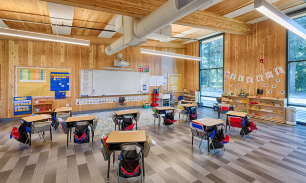
Building Sustainably with Mass Timber
This building method can help clear forests of smaller trees that burn easily while also reducing the carbon footprint of new homes and offices.
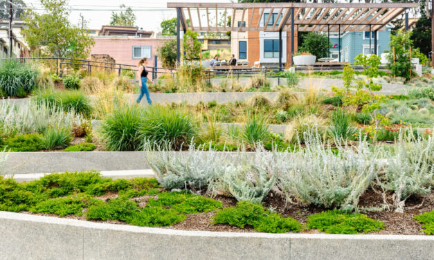
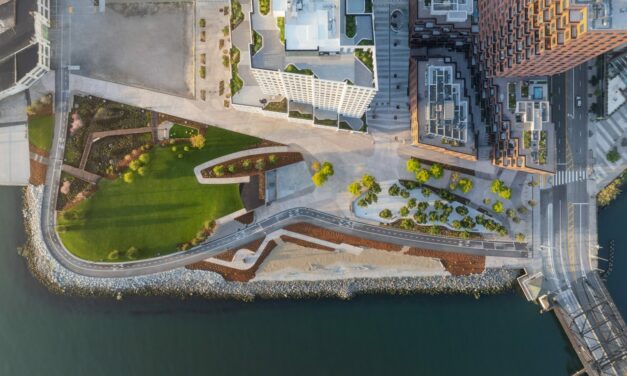
Repurposing Urban Lots & Waterfronts: Ashland Grove Park, Palo Alto Levee, and India Basin
In this edition of our professional column, we look at how groups are reimagining a lot in Ashland Grove and shorelines in San Francisco and Palo Alto.
Testing Adaptation Limits: Mariposa Trails, Marin Roads & San Francisco Greenspace
In KneeDeep’s new column, The Practice, we daylight how designers, engineers and planners are helping communities adapt to a changing climate.

All Stories
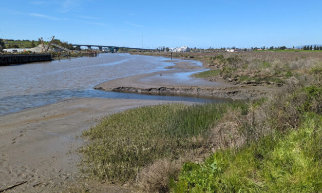
The Nuances of Tapping North Bay Sediment Supplies
How Adobe Creek and the Petaluma River can help three parcels, including a popular park, evolve into one resilient shore.
Building Sustainably with Mass Timber
This building method can help clear forests of smaller trees that burn easily while also reducing the carbon footprint of new homes and offices.
Repurposing Urban Lots & Waterfronts: Ashland Grove Park, Palo Alto Levee, and India Basin
In this edition of our professional column, we look at how groups are reimagining a lot in Ashland Grove and shorelines in San Francisco and Palo Alto.
Testing Adaptation Limits: Mariposa Trails, Marin Roads & San Francisco Greenspace
In KneeDeep’s new column, The Practice, we daylight how designers, engineers and planners are helping communities adapt to a changing climate.
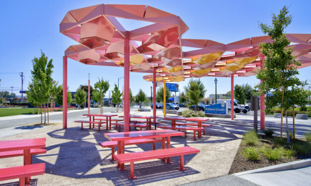
Ashland Trades in Car Lot for Community Zocalo
An unincorporated area of Alameda County identified by local government as in need of more park space got a new, climate resilient gathering spot and “town square” this summer.
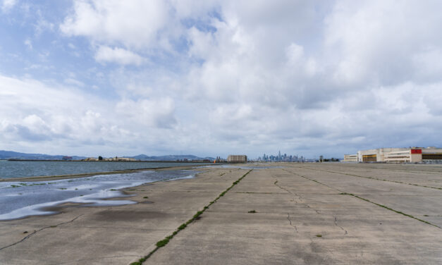
Hard Park Going Soft in Alameda
The City of Alameda is planning to de-pave an area of the former Alameda Naval Air station the size of nine football fields and transform it into an ecological nature park.
Layer Cake of Risk Mapped for Five Bay Area Hotspots
Greenbelt Alliance worked with data and communities to identify 18 sites where social vulnerability, climate hazards and conservation priorities overlapped, then winnowed them down to five hot spots.
Future-Proof Homes?
Oona Khan dreams about her home of the future, after losing her Malibu retreat to fire. Caught in a quagmire of legal battles with Southern California Edison, and surging construction costs, Khan is still waiting to start construction.
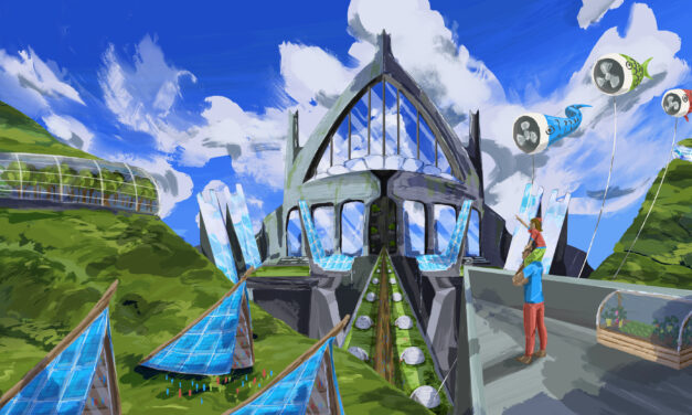
The Case for Climate Castles
As climate change throws more extreme events at us, isn’t it time to think bigger, bolder, further ahead? Six young architects draw climate-resilient castles.
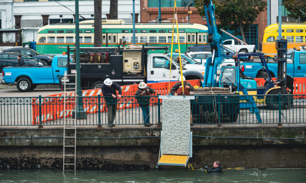
Could Textured Tiles Bring SF Seawall to Life?
Buried in the blueprints for a refurbished San Francisco seawall is a cutting-edge experiment in texturing pieces of this buttress against sea level rise so they attract native species.
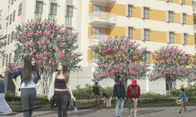
Flipping the Switch on All-Electric Housing
An East Palo Alto affordable housing project is at the forefront of a trend cities across California are trying to encourage: switching from natural gas appliances to electric ones. But the transition isn’t without headaches.
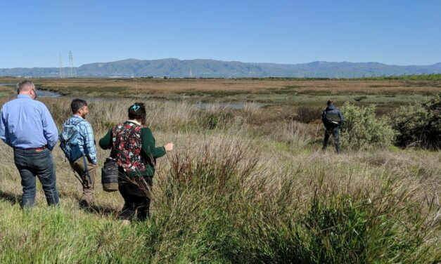
Half a Dozen Horizontal Levees in the Works
The specter of sea level rise, perpetual drought, and disappearing wetlands has put many sizes and shapes of horizontal levee on the region’s shoreline adaptation maps. What’s next?