

Ordering the Path to Wildlife Resilience
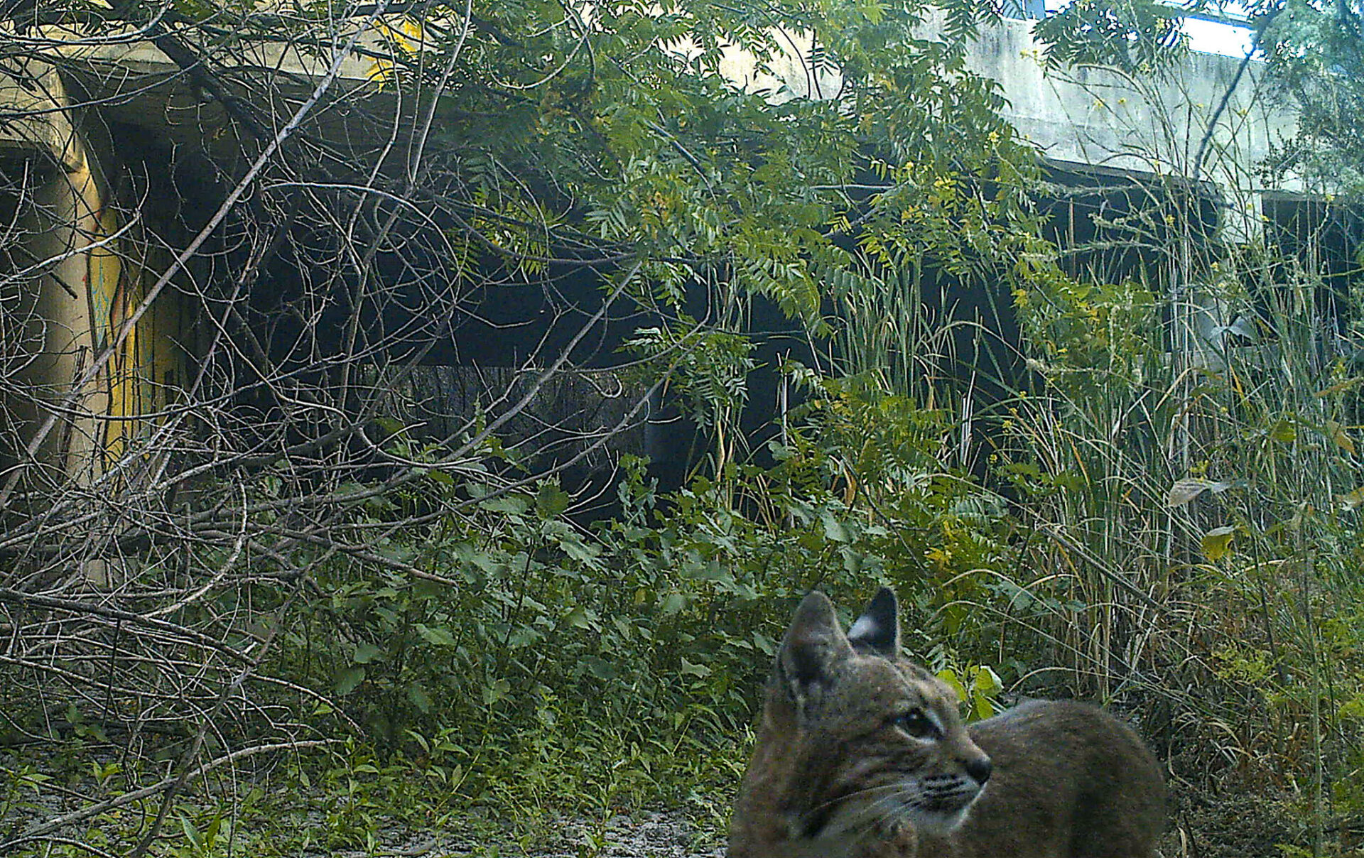
For nearly all organisms, connectivity is key. From small voyages to long, creatures must travel to find food, water, a mate, or a suitable patch of soil to put down roots. They need to avoid predators, wildfire, flood, and other hazards. This means they need wild pathways — corridors of trees, streams, meadows, or other habitat that allows them to move through a landscape increasingly fragmented by human alteration. And as climate change upends formerly stable patterns, wildlife’s need for corridors must also shift, often in complex ways, in order for each species and ecosystem to remain resilient.
To help land managers respond to the increasing challenges of preserving useful wildlife corridors, the Association of Fish and Wildlife Agencies recently published a comprehensive collection of resources called the Connectivity and Climate Change Toolkit.
“It is useful to have compilations like this; for any individual organization or agency to start from scratch is a lot of work,” says Grant Ballard, chief science officer with the conservation non-profit Point Blue. “Some of the things identified I hadn’t seen before, and some are things we created that they used.”
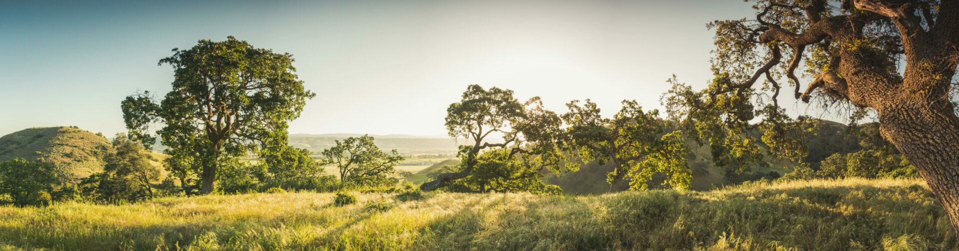
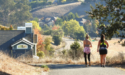
Local agencies recently set aside significant acreage in Santa Clara County’s Coyote Valley, a critical wildlife corridor under immense development pressure from urbanized San Jose.
Photo Courtesy: Lech Naumovich, SCVOSA.
While the need for wildlife corridors for everyday travel isn’t a new idea, planning for longer term shifts in the location and extent of habitats due to warming temperatures or increasing flooding is. “In light of climate change,” the report says, “connectivity is recognized for its potential to provide additional benefits for resiliency and adaptation strategies for fish and wildlife.”
The publication is broken up into categories such as Project Planning, Adaptation Strategies, and Considerations by Systems. Each category offers a summary of key resources, and a case study. From Forest Service guidance on road-stream crossing issues to software recommendations for how to plan fish-friendly culverts or predict connectivity, the toolkit has a diverse array of resources.
“This is the first time I have seen anything like this geared toward public agencies,” Ballard says. “It shows the intention to take a long view and do the work — so that is encouraging.”
Other Recent Posts
Your Nine-County Guide to Bay Area Storm Prep
KneeDeep has you covered with this nine-county list of resources available in case of storm-related emergencies this winter.
Check Your Project Status: It’s All Here
The Bay Adapt Project and Funding Navigator is a first-of-its-kind, one-stop shop where everyone can find project statuses and funding ideas.
A Man Who Wears Many Hats
The leader of the San Mateo RCD’s Forest Health and Fire program says his mantra is to “be open to being wrong.”
Solano Samples Air And Finds Dirt
After helping shut down a polluting Vallejo cement plant, residents are working to expand community-led air quality monitoring across Solano County.
Who’s In Charge? What Projects Make the Cut?
The region has made progress planning for sea level rise, but who will coordinate a $100 billion effort over the coming decades remains an open question.
Could We Be Building Highways 15 Feet Above Ground Sometime Soon?
The agency is grappling with how to protect highways, public transit, and biking and walking paths from the rising waters of the coming century.
A Bulwark for San Francisco’s Skyscrapers?
A new joint federal and local plan maps out 13 strategies to protect 7.5 miles of San Francisco’s waterfront from sea level rise and future flooding.
Will El Niño Winter Bring Climate Chickens Home to Roost?
A dangerous combination of warm Pacific waters, Kelvin waves, king tides, and storms could disrupt life and infrastructure across the region this winter.
Inside SLR Baseball, My Summit Takeaways
A gathering of 300+ Bay Area climate leaders highlighted growing momentum on sea level rise planning — and the challenges that could slow progress.
California’s Climate Future Comes Into Sharper Focus
The Fifth California Climate Assessment predicts more water scarcity, smoke, flooding, and heat. But new technology and projections can give us a roadmap to prepare.