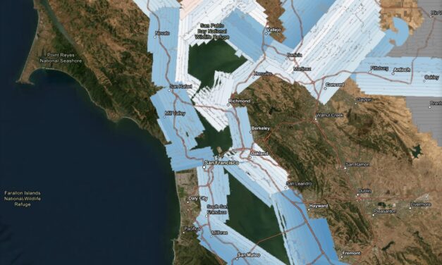
Change Detection Made Easier with New Lidar Survey
A new high-resolution lidar dataset gives planners a powerful tool to track flooding, levees, and wetland changes across the estuary.
Read More

City & County Initiatives

Bay Area Regional Initiatives

Resilience Hub
A new high-resolution lidar dataset gives planners a powerful tool to track flooding, levees, and wetland changes across the estuary.
Read More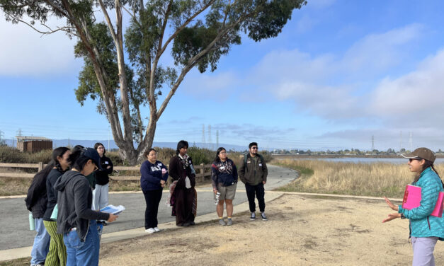
The six-month program teaches students aged 17 -24 about the challenges facing communities around the SF Estuary, from Stockton to East Palo Alto.
Read More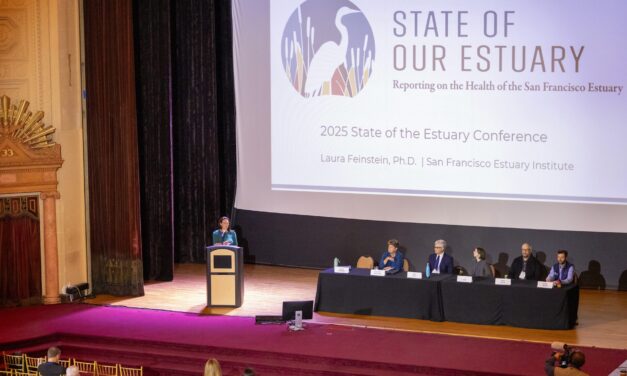
Habitat restoration and pollution regulations are holding the Bay steady, but the Delta is losing some of its ecological diversity, says SF Estuary Partnership scorecard.
Read More
In this edition of our professional column, we look at how groups are reimagining a lot in Ashland Grove and shorelines in San Francisco and Palo Alto.
Read More
Three initiatives—the Bay Adapt Joint Platform (BCDC), Plan Bay Area 2050 (MTC/ABAG), and the Estuary Blueprint (SFEP)—together provide a basis for a regional response to climate change.
Read More
We tour Pacheco Marsh, a once-rough patch of Bay shoreline that is now a green refuge for walkers, birds, and even paddleboarders.
Read More
By standardizing and coordinating data collection, the Wetlands Regional Monitoring Program will supercharge new analyses of restoration projects.
Read More
A May 2024 environmental conference covers levees, seawalls, reefs, wetlands, and other climate resilient shoreline designs for the Bay Area.
Read More
To reduce nitrogen loads, the Bay Area is facing an overhaul of wastewater plants to the tune of $16B. Sea level rise calls for other retrofits. The two could require the heftiest investment in clean water infrastructure in decades.
Read More
Regional agencies made splashy headlines when they released a joint study on the likely cost of protecting Bay Area shores from rising seas: $110 billion. But the top-line number didn’t offer much insight into the complexities. A new inventory and map from the same agencies is much more revealing.
Read More
More than 800 climate adaptation professionals went to the national forum in October. KneeDeep asked attendees from the Bay Area for their takeaways.
Read More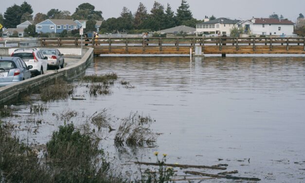
On an overcast June afternoon at Bay Farm Island’s Veterans Court, Danielle Mieler explains that if it weren’t for low tide, water might be at her feet.
Read More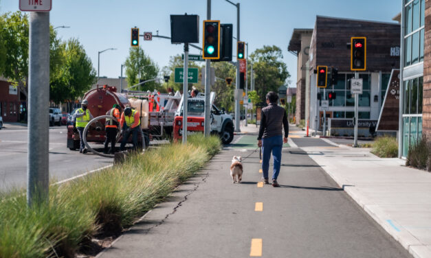
From tattoo parlors to senior housing, San Pablo Avenue has it all. Now the busy thoroughfare is also a testbed for a distributed network of rain gardens.
Read More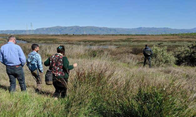
The specter of sea level rise, perpetual drought, and disappearing wetlands has put many sizes and shapes of horizontal levee on the region’s shoreline adaptation maps. What’s next?
Read More