Composting as a Ritual for Renewal
A farm high in the Contra Costa County hills helps folks learn from the land and connect with nature.
Read More

City & County Initiatives

Bay Area Regional Initiatives

Resilience Hub
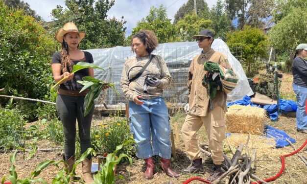
A farm high in the Contra Costa County hills helps folks learn from the land and connect with nature.
Read More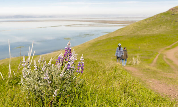
At Coyote Hills Regional Park, a sweeping 170-acre expansion is reshaping the landscape where wetlands, oak savannas, and historic farmlands meet.
Read More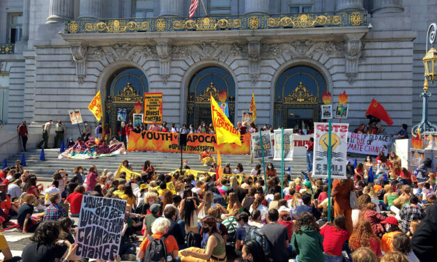
Meet the Bay Area climate groups tackling emissions, resilience, and justice as federal climate protections are dismantled.
Read More
Diverse climate action efforts and resources can be found in San Mateo County.
Read More
In fairy wings and cloaks, Bay Area youth turned the MLK Shoreline into a living game to tackle climate change — a photo essay.
Read More