


Category: Sea Level Rise
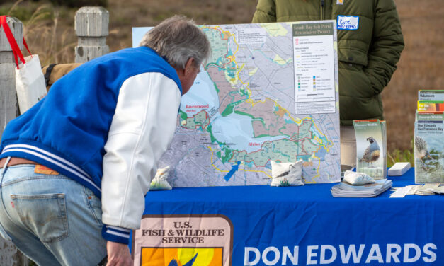
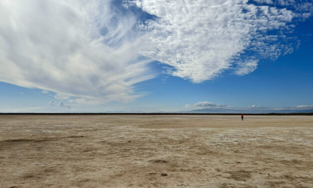
Mountain View’s Shoreline Gets Serious SLR Attention
After four breaches, imports of clean fill, and the addition of rocks, bird islands and bridges the South Bay’s Shoreline Park has more climate resilient environs.
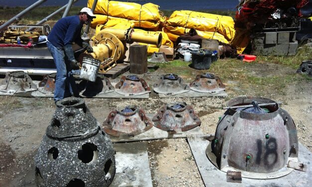
The Gray-Green Alchemy of Baycrete
Baycrete is a nature-based hybrid of concrete, shell, and sand designed to attract oysters and create shallow water reefs in SF Bay.
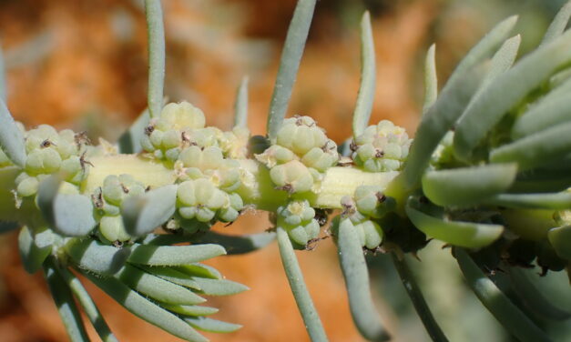
A Rare Plant Tough Enough to Save the Future Bayshore
Sea-blite can thrive in adverse conditions, buffer shores from waves, hold sand and soil in place, and clamber up eroding cliffs.

All Stories
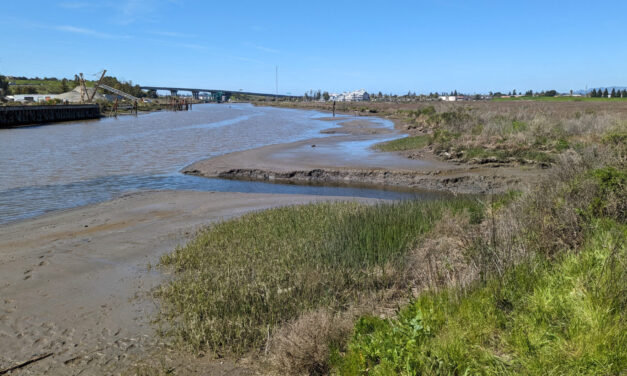
The Nuances of Tapping North Bay Sediment Supplies
How Adobe Creek and the Petaluma River can help three parcels, including a popular park, evolve into one resilient shore.
Mountain View’s Shoreline Gets Serious SLR Attention
After four breaches, imports of clean fill, and the addition of rocks, bird islands and bridges the South Bay’s Shoreline Park has more climate resilient environs.
The Gray-Green Alchemy of Baycrete
Baycrete is a nature-based hybrid of concrete, shell, and sand designed to attract oysters and create shallow water reefs in SF Bay.
A Rare Plant Tough Enough to Save the Future Bayshore
Sea-blite can thrive in adverse conditions, buffer shores from waves, hold sand and soil in place, and clamber up eroding cliffs.
Reforming Rules to Speed Adaptation
Bay Conservation and Development Commission to vote early this year on amendments designed to expedite approval of climate projects.
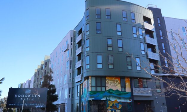
Is Brooklyn Basin Emblematic of Regional Development Vision?
The 64-acre waterfront development adds thousands of new housing units to one of the world’s most expensive places, but questions remain about its future.
New Study Teases Out Seawall Impacts
New models suggest that sea walls and levees provide protection against flooding and rising seas with little effect on surrounding areas.
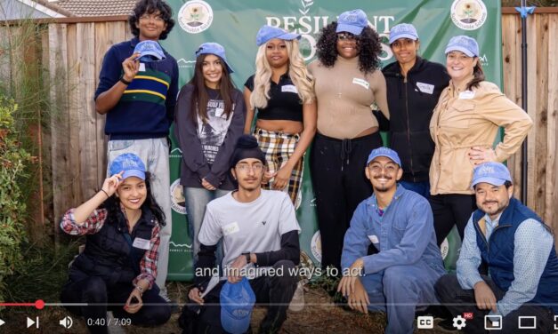
Field Clips: What 7 Newly-Minted Climate Leaders Did for Solano County
After 10 months of climate leadership training, the graduates of the Resilient Roots program tell us about their projects.
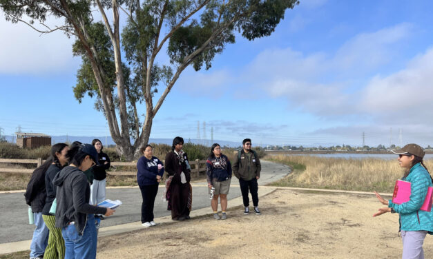
Who Will Inherit the Estuary? Training for a Rough Future
The six-month program teaches students aged 17 -24 about the challenges facing communities around the SF Estuary, from Stockton to East Palo Alto.
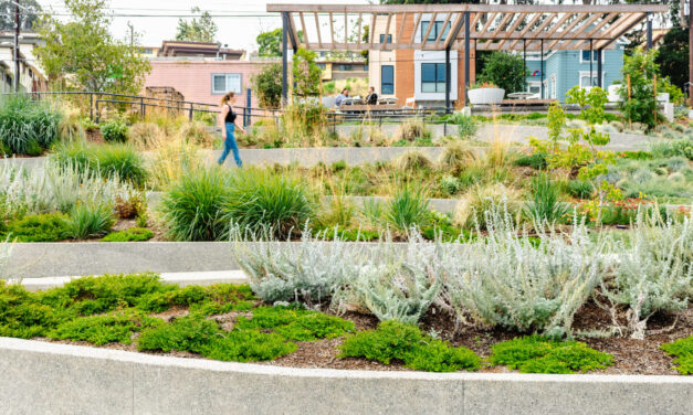
Repurposing Urban Lots & Waterfronts: Ashland Grove Park, Palo Alto Levee, and India Basin
In this edition of our professional column, we look at how groups are reimagining a lot in Ashland Grove and shorelines in San Francisco and Palo Alto.
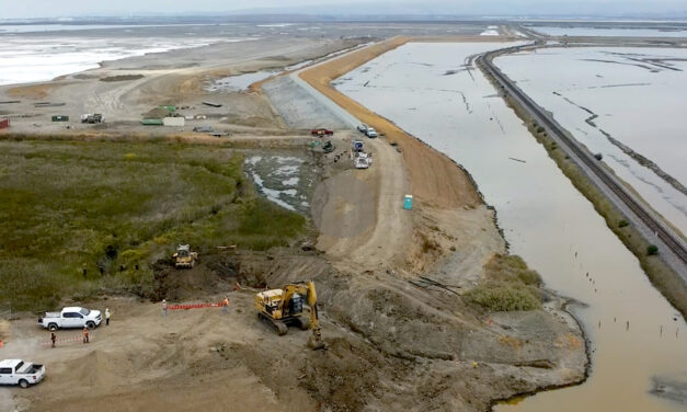
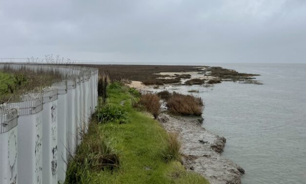
King Kong Levee: Two Miles Done, Two To Go
Two miles of levee are now in place as part of the project to protect Alviso and parts of San Jose, but construction will last much longer.
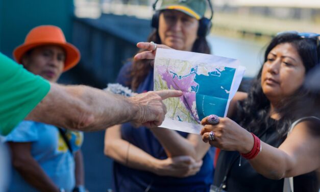
What I Learned About Sea Level Rise at a Regional Summit
Activists, planners and scientists say bay fill, equity and education are key concerns in the battle against future flooding.