



Ordering the Path to Wildlife Resilience
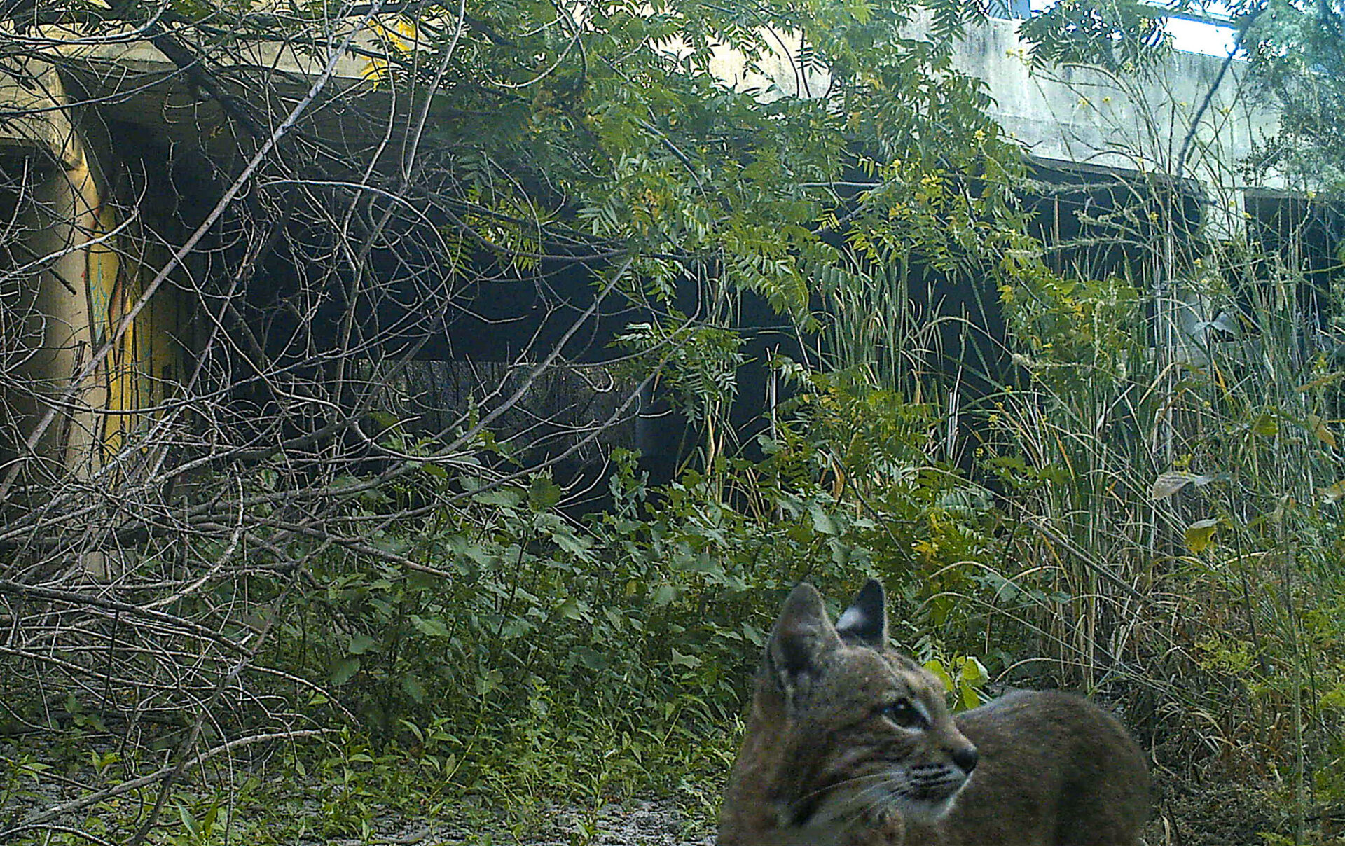
For nearly all organisms, connectivity is key. From small voyages to long, creatures must travel to find food, water, a mate, or a suitable patch of soil to put down roots. They need to avoid predators, wildfire, flood, and other hazards. This means they need wild pathways — corridors of trees, streams, meadows, or other habitat that allows them to move through a landscape increasingly fragmented by human alteration. And as climate change upends formerly stable patterns, wildlife’s need for corridors must also shift, often in complex ways, in order for each species and ecosystem to remain resilient.
To help land managers respond to the increasing challenges of preserving useful wildlife corridors, the Association of Fish and Wildlife Agencies recently published a comprehensive collection of resources called the Connectivity and Climate Change Toolkit.
“It is useful to have compilations like this; for any individual organization or agency to start from scratch is a lot of work,” says Grant Ballard, chief science officer with the conservation non-profit Point Blue. “Some of the things identified I hadn’t seen before, and some are things we created that they used.”
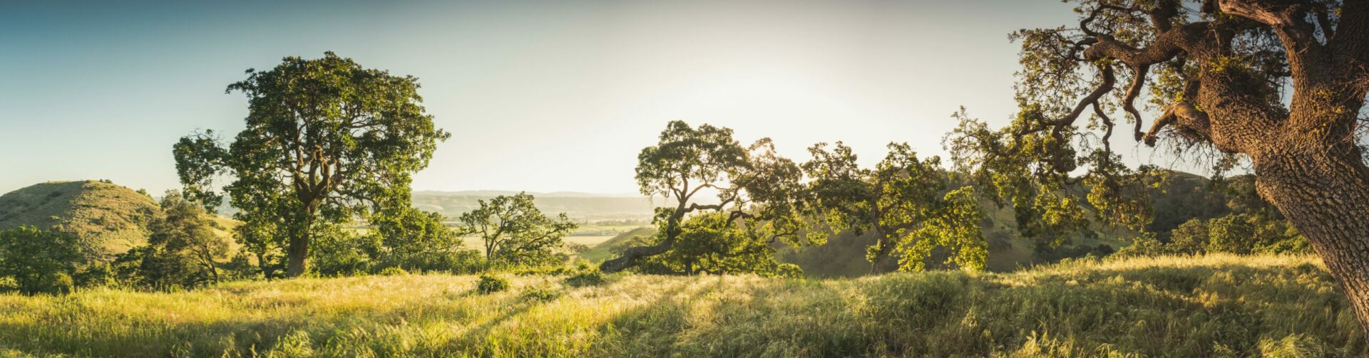
Local agencies recently set aside significant acreage in Santa Clara County’s Coyote Valley, a critical wildlife corridor under immense development pressure from urbanized San Jose.
Photo Courtesy: Lech Naumovich, SCVOSA.
While the need for wildlife corridors for everyday travel isn’t a new idea, planning for longer term shifts in the location and extent of habitats due to warming temperatures or increasing flooding is. “In light of climate change,” the report says, “connectivity is recognized for its potential to provide additional benefits for resiliency and adaptation strategies for fish and wildlife.”
The publication is broken up into categories such as Project Planning, Adaptation Strategies, and Considerations by Systems. Each category offers a summary of key resources, and a case study. From Forest Service guidance on road-stream crossing issues to software recommendations for how to plan fish-friendly culverts or predict connectivity, the toolkit has a diverse array of resources.
“This is the first time I have seen anything like this geared toward public agencies,” Ballard says. “It shows the intention to take a long view and do the work — so that is encouraging.”
Other Recent Posts
Regional Housing Agency Invests in Affordability
The Bay Area Housing Finance Authority is launching a loan program to support the construction of mixed-income rental properties.
The End is Coming for California’s Untouchable Grass
The law, which applies to grass that isn’t used for recreational purposes, could cut urban water use across California by more than 20% says Oakland thinktank.
Sonoma Vineyard Workers Burn toward a Better Future
A group of immigrant farmworkers are forming a worker-owned cooperative to bring back Indigenous burning practices that used to revitalize the soil.
Los trabajadores de los viñedos de Sonoma queman por un futuro mejor
Un grupo de trabajadores agrícolas inmigrantes está formando una cooperativa de propiedad de los trabajadores para recuperar las prácticas indígenas de quema que solían revitalizar el suelo año tras año.
New Voices Shape Design of Berkeley’s North Basin Strip
Twenty acres of parkland between the highway and the Berkeley shore are slated for a coast-resilient makeover, with input from locals and stakeholders.
It’s Always Sunny In North Fair Oaks
Residents of the unincorporated community launched their second campaign in two years to get the county to care for dying street trees.
Siempre está soleado en North Fair Oaks
Los residentes de la comunidad no incorporada lanzaron su segunda campaña en dos años para lograr que el condado se ocupe de los árboles de la calle que se están muriendo.
Can Nature Help California’s Coast Fight Fire and Floods?
Local and state leaders gather for September summit on how to mainstream nature-based infrastructure.
Guide to Nature-Based Infrastructure Around the Bay Area
Regional leaders are testing eight types of climate adaptation and shoreline flood protection projects that work with nature instead of against it. Here’s an overview.
How Can I Get Clean, Green, Climate-Forward Job Training in the Bay Area?
Looking for a hands-on job working outdoors that actually pays? Here’s a list of training programs.