


Canal Residents Wade into Citizen Science
This February hundreds of Californians gathered at the shoreline to witness some of the highest tides of the year, commonly known as king tides. About 75 of these folks could be seen along Marin County’s San Rafael Canal on February 10, practicing citizen science as they collected flooding data and photographed the tides. Organizers of the bilingual event, entitled King Tide Day/Día de las Mareas Reales, hoped the experience could help make the area’s vulnerability to sea level rise more real.
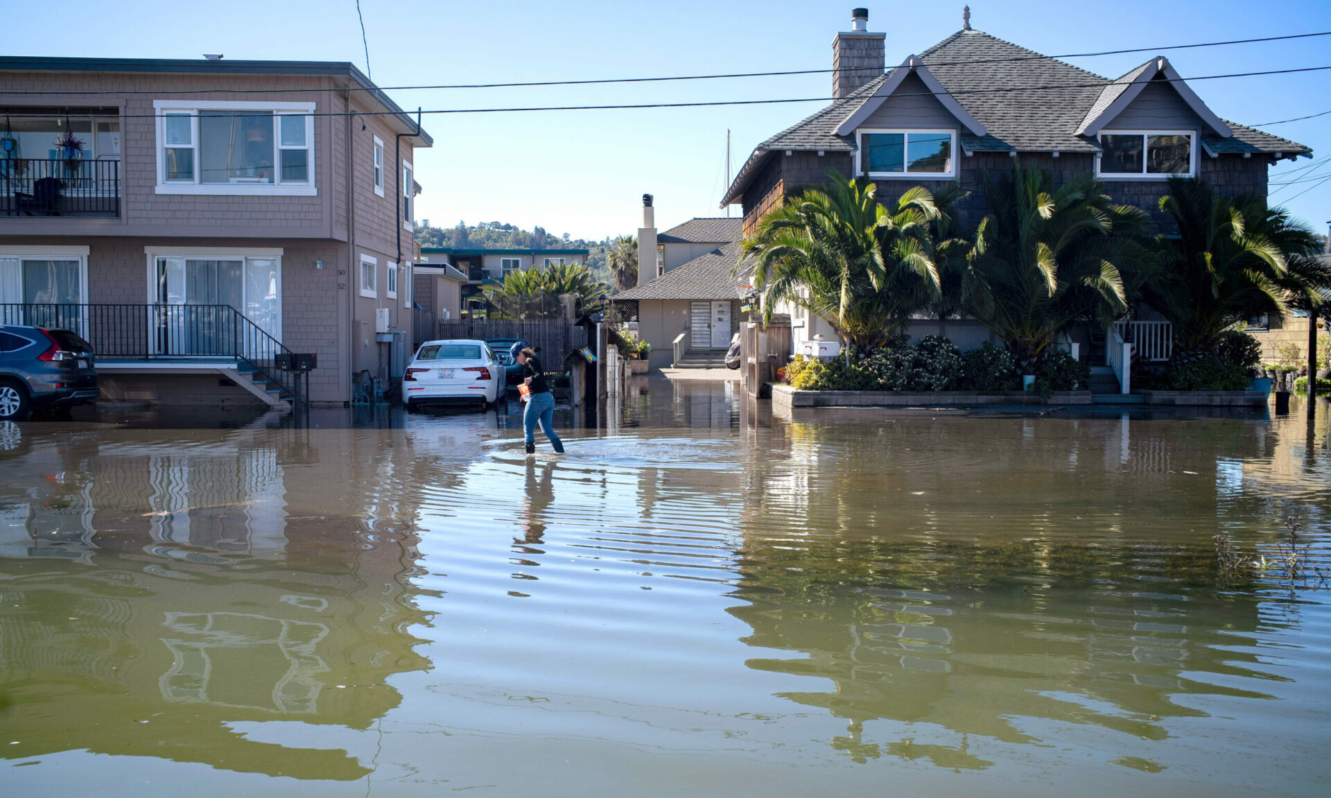
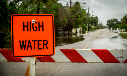
The low-lying Canal neighborhood already experiences frequent flooding. The sight of waves lapping at sidewalks and people sloshing through ankle-deep water in the Canal district (top photo) on King Tide Day provided an eerie glimpse of what will someday become this community’s new normal. As Kristina Hill, professor of Landscape Architecture and Environmental Planning at UC Berkeley shared with our reporter and photographer on the scene George Alfaro, “The San Rafael Canal is one of the most vulnerable places in all of California…You are seeing the future in the present.”
The event was organized by the city of San Rafael and UC Berkeley, Marin Audubon, Canal Alliance, Multicultural Center of Marin, and Canal Arts. The day marked the first community outreach event after a year of planning and capacity building for the Canal Community Resilience Planning Project for sea level rise adaptation, which KneeDeep Times first reported on in January 2023.
Cris Criollo, environmental justice specialist for the Multicultural Center, helped to plan the event with the goal of helping the majority-Hispanic, immigrant community living in the Canal “understand their vulnerability and have a voice in all decision-making processes that can affect them.”
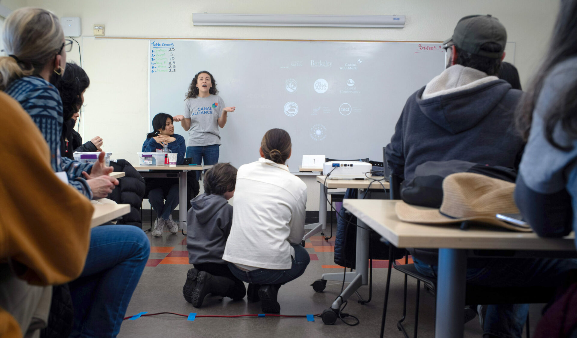
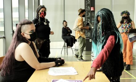
Early in the day, local families, university students, scientists and adaptation professionals crowded into a room at the Albert J. Boro Community Center (above), a big red building only a few feet away from where the Canal meets San Rafael Bay. Canal Alliance staff gave a presentation on the science of king tides and the areas most impacted by flooding. King tides, also known as perigean spring tides, occur during the new or full moon, when the combined gravitational pull of the sun and moon on the tides is stronger than usual. Although king tides are a natural phenomenon not caused by climate change, they can help us visualize what regular high tides will be like as sea levels rise.
“Climate change can feel like it’s something that is going to happen in 2100 [or only] to polar bears,” explained Kate Hagemann, Climate Adaptation & Resilience Planner for San Rafael. But events like King Tide Day “make it less abstract,” she said.
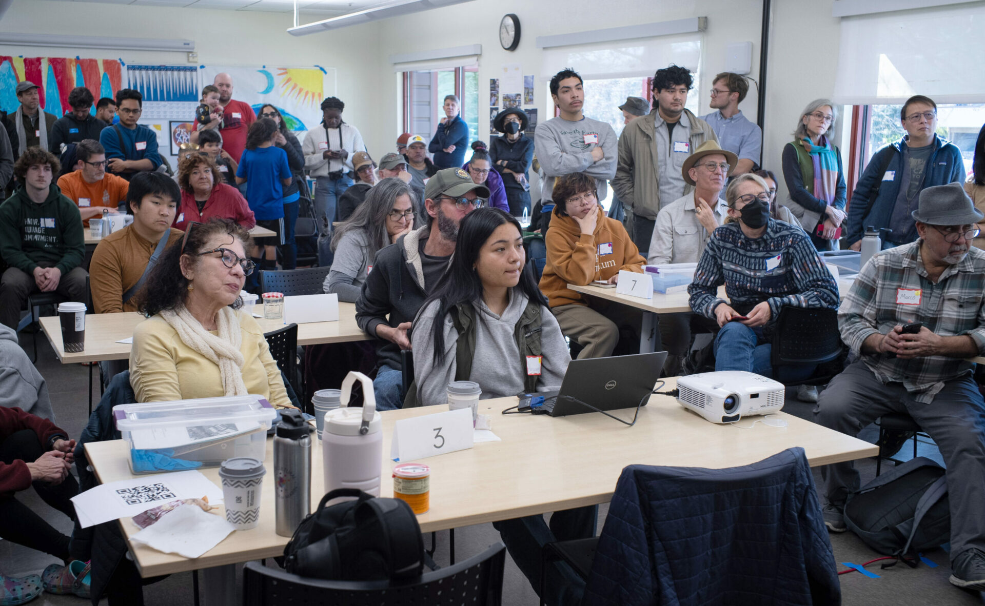
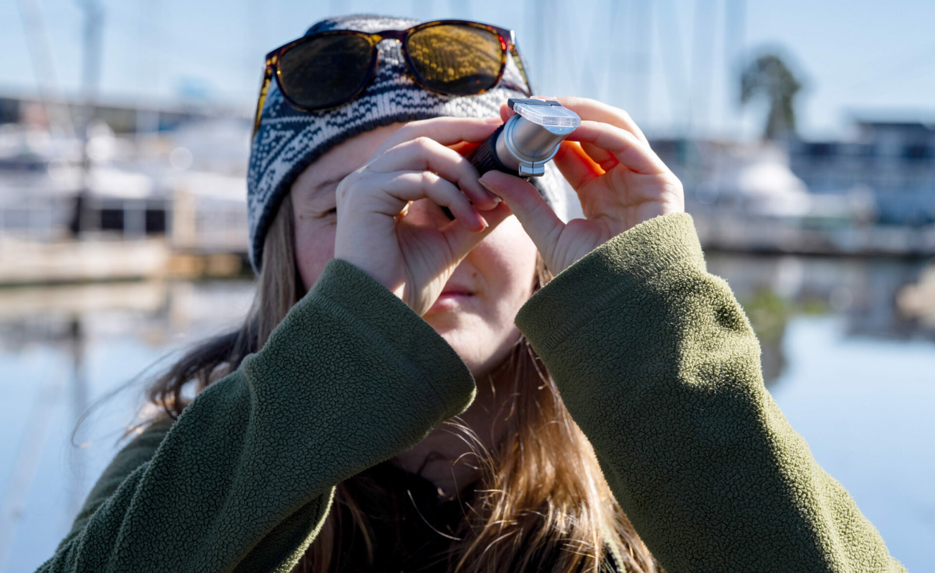
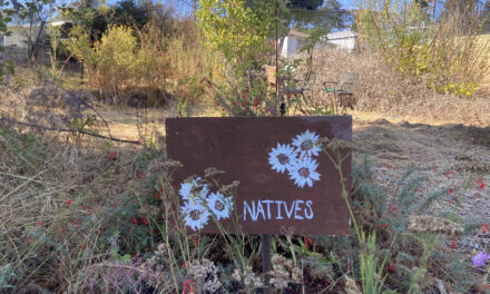
After the Canal Alliance presentation, organizers passed the baton to several Berkeley professors who explained how the citizen science data collected by volunteers using simple kits (above) could have a real impact on how the community responds to sea level rise. The data will contribute to the California King Tide Project, an initiative of the California Coastal Commission, and ultimately help bolster state government support for improved adaptation infrastructure for impacted communities.
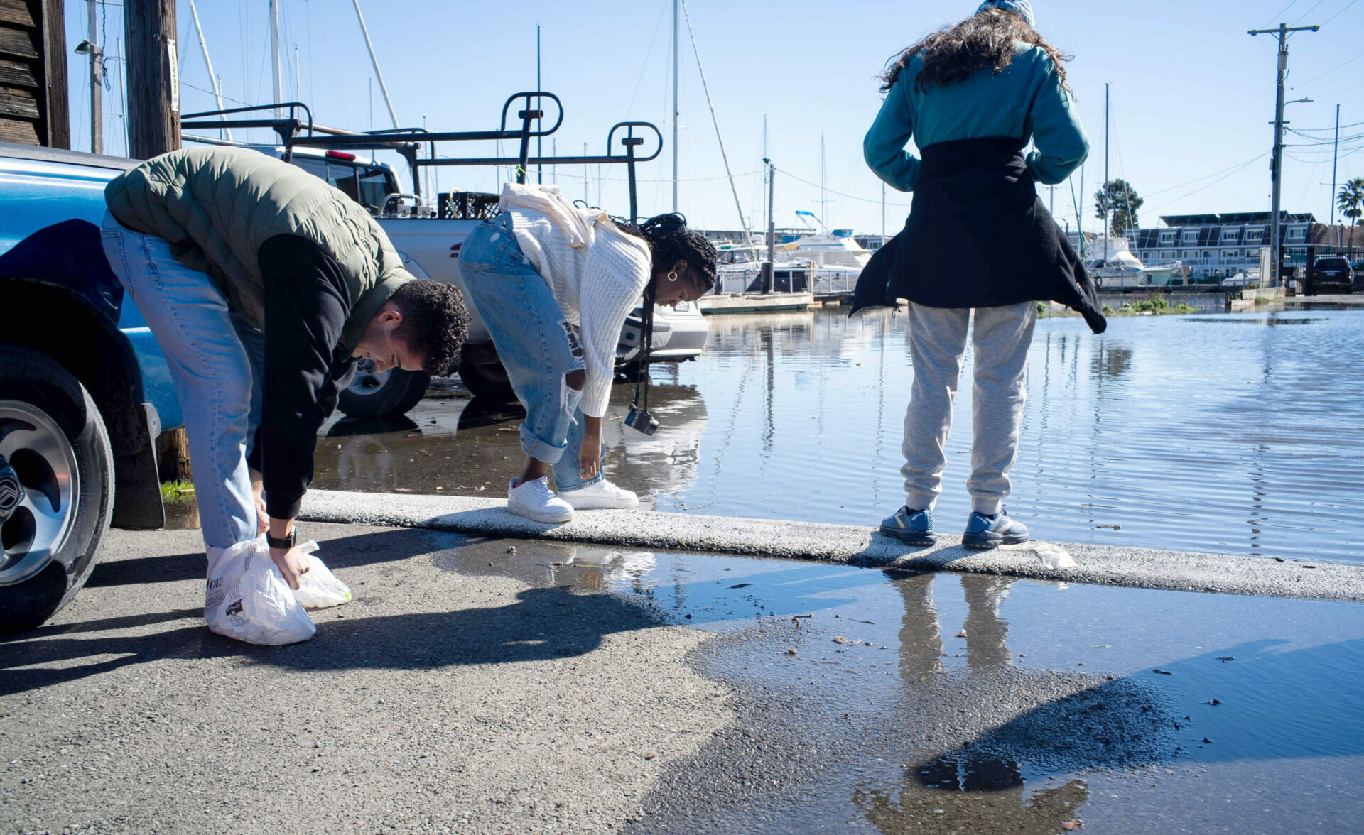
Next, organizers separated volunteers into small groups. Armed with clipboards and science kits, volunteers set out to one of ten different data collection sites around the Canal. The sites displayed the varying impact of the king tides, from elevated water levels in Mahon Creek in downtown San Rafael to several inches of flooding at Mooring Road (above), a residential street right along the Canal. In some locations, volunteers who forgot to bring rain boots cleverly improvised with plastic bags.
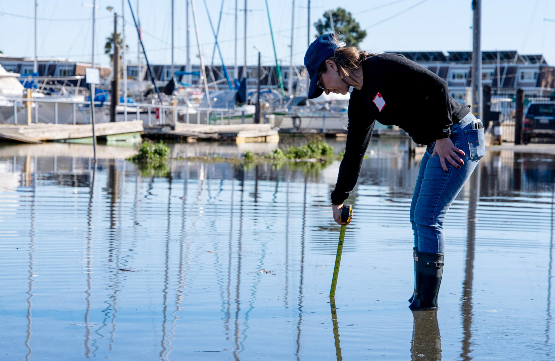
At each site, volunteers worked as a team to collect data. Some used a tape measure to record the depth of flooding (above) and others wrote down observations about water movement, weather, and any trash or pollution brought in with the tide. Local resident Kim Weber observed how fast the water became deep, and how much trash it left behind: “There are hazards that I didn’t realize because of the water. This person is charging their car with wires everywhere and the water is coming up… ”
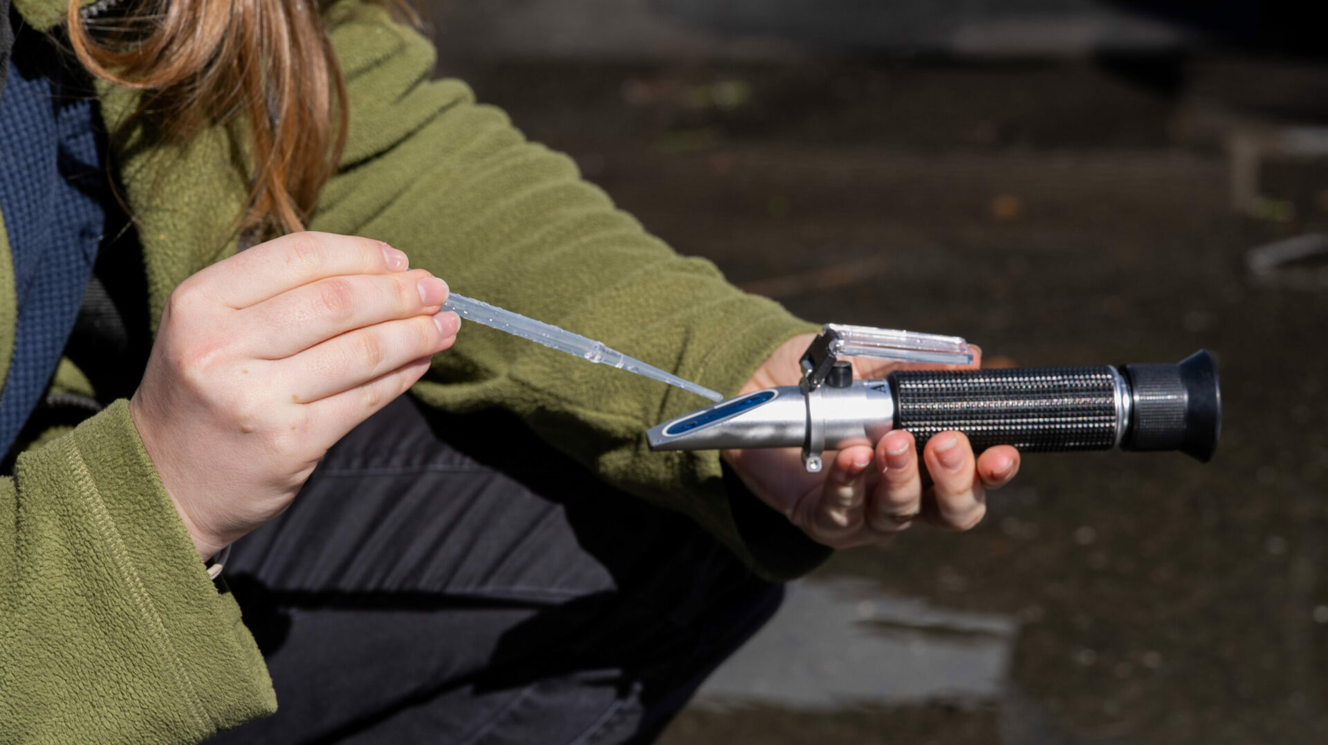
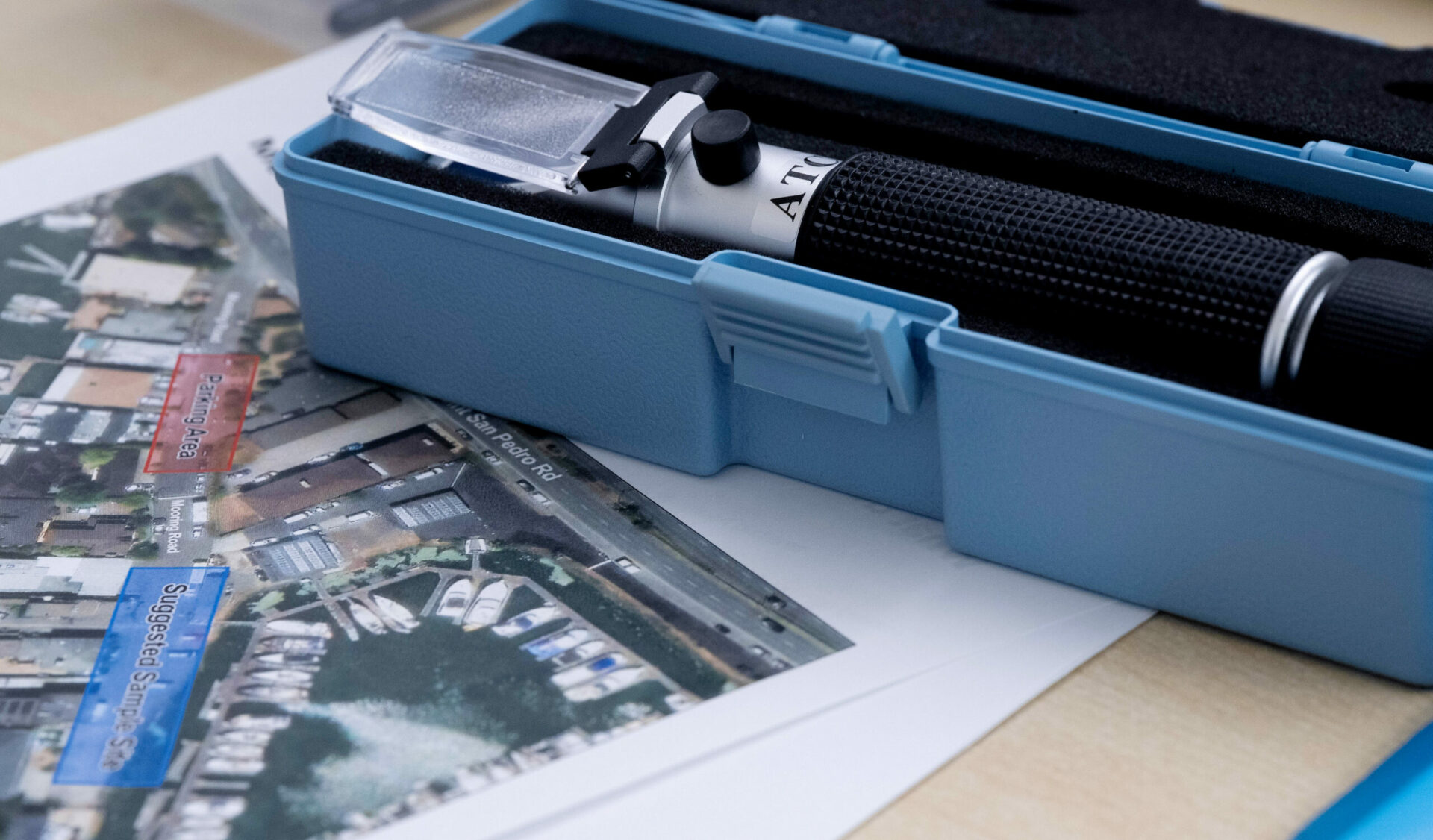
On the day of the event, the king tide peaked at 8.89 feet at 10:34 am, with a corresponding low tide of 0.03 feet at 5:29 pm. By the time the volunteer teams arrived at their data collection sites, the tides were slowly beginning to retreat. To pinpoint tidal impacts, volunteers took measurements of the water’s salinity using a refractometer (above and below). “Sometimes it’s not easy to tell in an urban environment if water is coming from rain or the gutter, or if it’s coming from the bay itself,” explained San Rafael planner Hagemann. But the presence of salt from ocean tides is a tell.
King Tide Day made an impression on those who participated. UC Berkeley student Helena Schieneman expressed concern for the difficult situation facing San Rafael residents: “People can’t just move and go somewhere else. It is such a dire situation, and it is hard to find housing.”
This year, as the city of San Rafael and its partners begin to explore the feasibility of different sea level rise adaptation projects, they are planning more events, workshops and other opportunities for community engagement. A particular focus will be increasing outreach to youth, according to environmental justice specialist Criollo.
“It was interesting to hear how many people were surprised by the flooding they saw,” Hagemann said. “We’ll keep trying to raise the visibility of the issue over the next year.”
KneeDeep first reported on king tides around the Bay in 2022, and in Santa Monica in 2023. This time in San Rafael, local Kim Weber left thinking about what is most at risk from sea level rise. “We are invested because these are our homes. But we were inactive until it affected us. It’s on our front door step.”
All photos by George Alfaro.
