


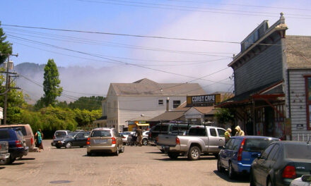
Relocating the Bay Trail at Alameda Point

Three sites along the East Bay shoreline will demonstrate potential pathways for shoreline adaptation, as part of the San Francisco Bay Trail Risk Assessment and Adaptation Prioritization Plan led by the East Bay Regional Park District. One site called the Northwest Territory, planned as a new district park, will feature a Bay Trail extension around the full extent of Alameda Point. The site’s low-lying elevation presents both a flood risk to existing structures and an opportunity to restore valuable marsh habitat. Project consultants WRT, an urban planning and landscape architecture firm, stress the importance of collaboration in crafting successful shoreline adaptation projects.
WRT’s proposal for Alameda Point also hinges on the ability to remediate contamination left behind by the US Navy. Their “Full Potential” design, which assumes robust remediation of contaminated areas, would create more than 100 acres of tidal marsh and a western shoreline resistant to erosion from high wind and wave action. Their “Limited Potential” design, which works with the known design parameters set by soil contamination cleanup, offers comparatively modest wetland habitat and less space for habitat migration as the sea level rises. As such, the containment of contaminated soil and planned public access could be compromised by the end of the century. “The design options are presented here to keep open conversations with all of the stakeholders involved in the development of this significant regional park,” says WRT Principal John Gibbs.
First published in RARA Review, April 2021.
Other Recent Posts
New Study Shows Rain Gardens Filter Chemicals Out of Stormwater
Scientists found rain gardens dramatically reduce toxic chemicals in stormwater while providing biodiversity and cooling.
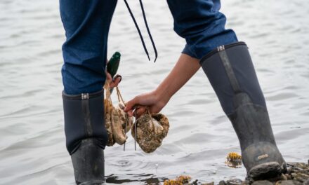
The Tricky Art of Growing Oysters in the Lab So They Can Survive in the Field
The Nature Conservancy, the Amah Mutsun Tribal Band, and others are growing oysters in the lab and planting them in the wild in estuaries around San Francisco Bay.
Printing Without Plastic: The Vintage Machine Winning Over Eco-Conscious Artists
This comic guide to risograph printing explains how the 1980s Japanese machine cuts energy use and avoids plastic toner.
East Bay Kids Fight Extreme Heat in their Schoolyards
Many California schools are ill-equipped to tackle heat, with many campuses lacking sufficient tree coverage. These students are fighting to change that.
How a North Bay Regional Park Helped Me Reconnect With Nature — and Myself
A young Fairfield resident reflects on how hiking during the pandemic became a refuge from digital overload and the growing realities of climate change.
Wild Pigs Rough Up Bay Area Greens
They tear up landscapes in search of food, prey on native wildlife, and damage streams, and warming could bring them closer to urban areas.
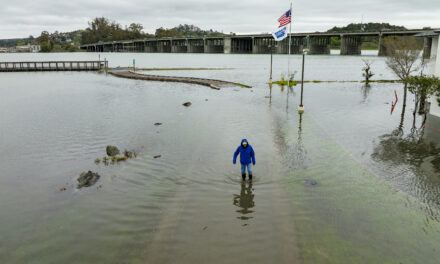
Residents Chose Different Ways to Respond to Contra Costa Flood Challenges
Graduates of a shoreline leadership program in Contra Costa County recently pitched their ideas for sea level rise education and adaptation.
Strong Leader, Light Touch: Caitlin Sweeney
Ahead of her retirement earlier this month, the Estuary Partnership director sat down with KneeDeep to discuss her achievements and the future of the Bay.
