


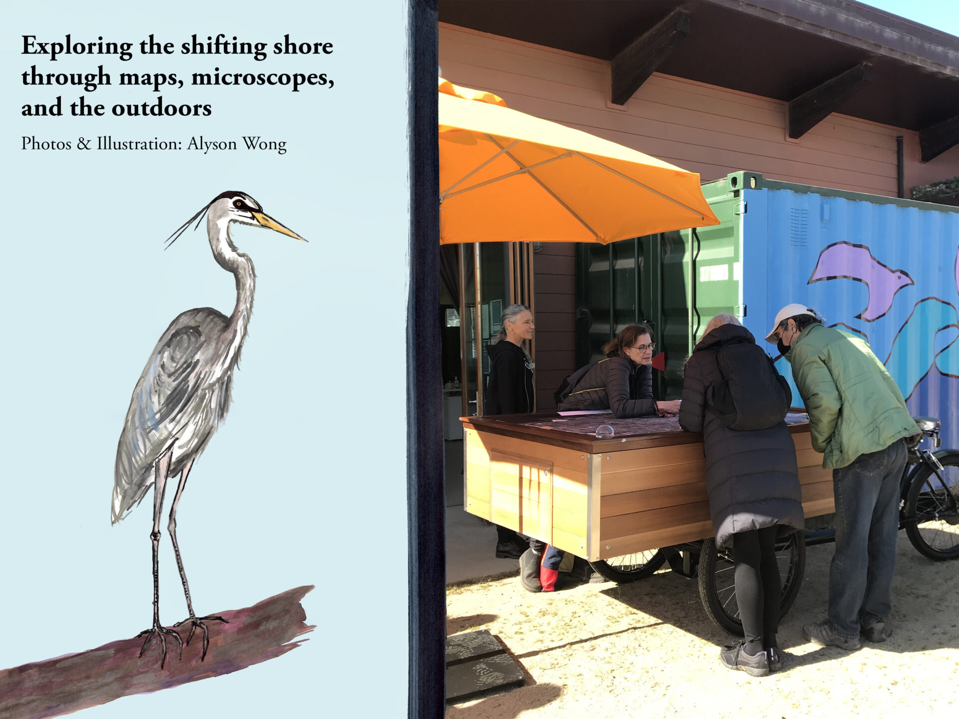
A Day On The Bayview’s Shifting Shore
“What brought me here today is to shake hands and rub elbows with those who protect our environment.”
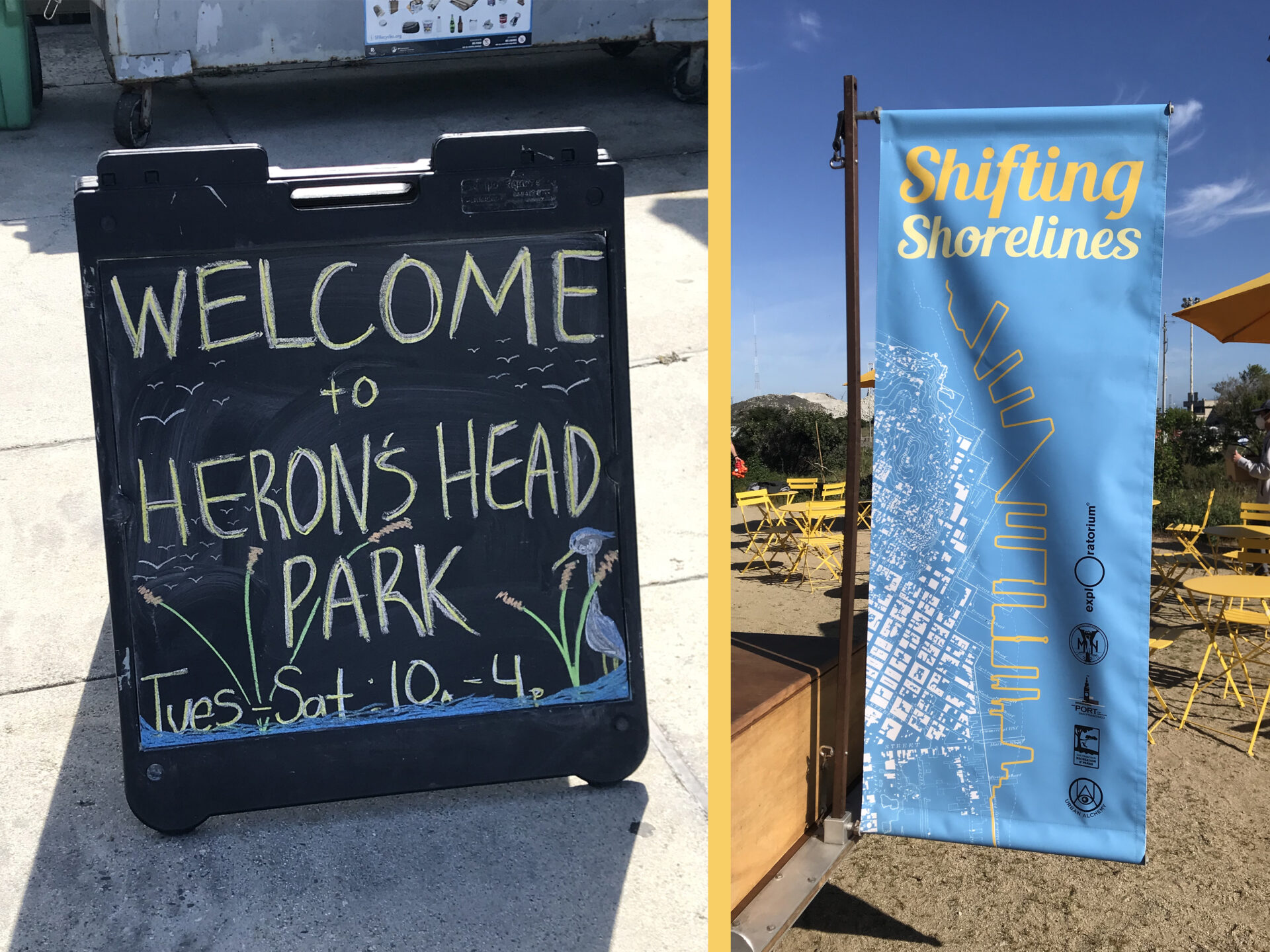
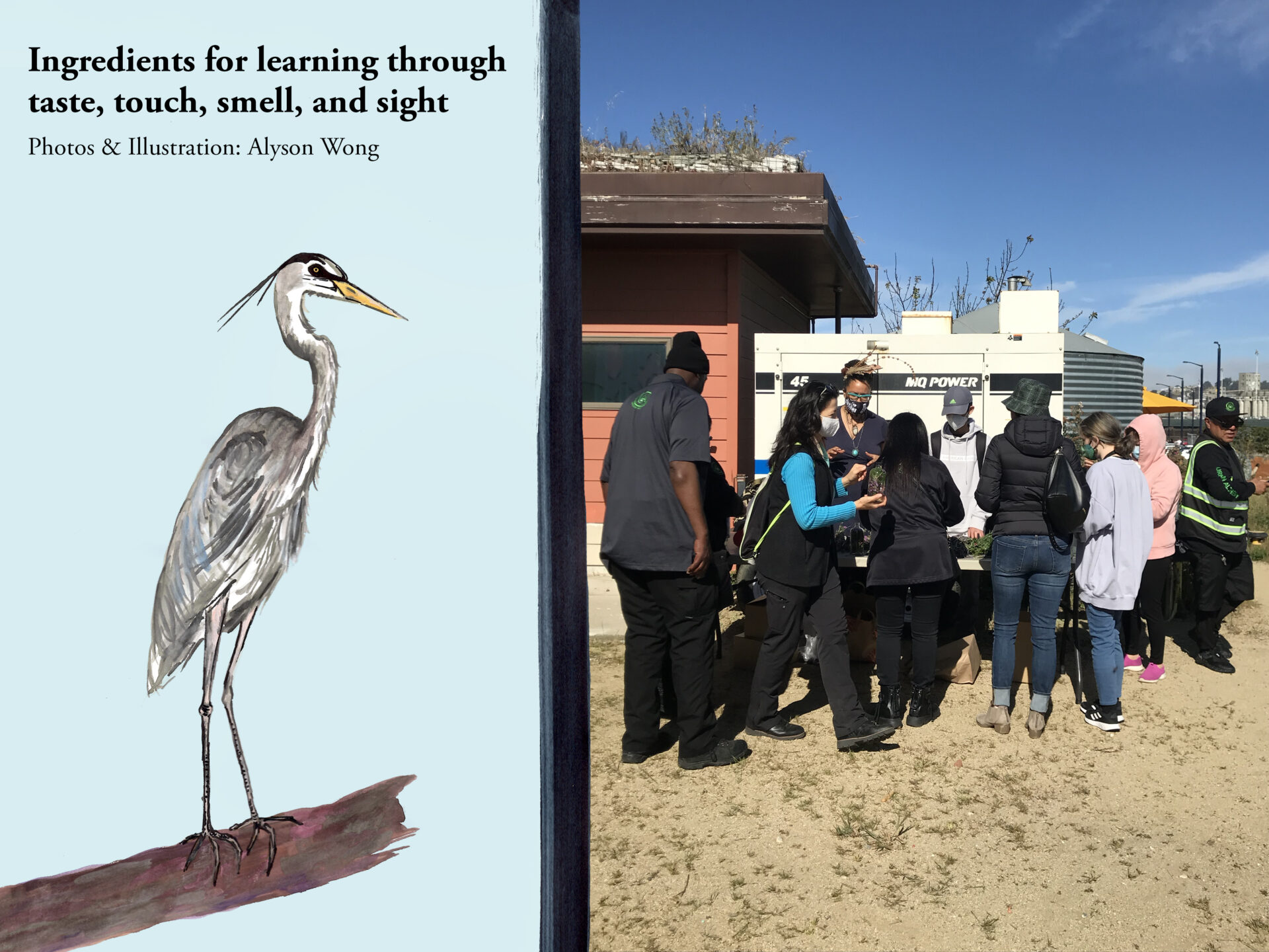
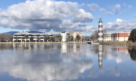
I set out for Heron’s Head Park on an early March morning. To my surprise, I had never heard of, nor visited, this site on the southeastern bayshore in my 20-plus years growing up and living as a visual artist in San Francisco. So I was excited to explore the park by attending an event called Shifting Shorelines.
The event created space for community conversation around rising sea levels and shoreline change. Developed in collaboration with the Port of San Francisco, Mycelium Youth Network, San Francisco Recreation and Parks, Urban Alchemy, and the Exploratorium, the event offered experiential demonstrations, site-specific exploration, and local presentations to the public at no cost.
As the city slowly yawned awake, I made my way to Bayview-Hunter’s Point. I saw winding streets turn long and straight after I exited the nearby Mission District to cross into new territory for me. The only notable landmark I saw was Bay Natives Nursery, a hidden gem across the street from the EcoCenter. Once I pulled into the parking lot I felt like I was in another world.
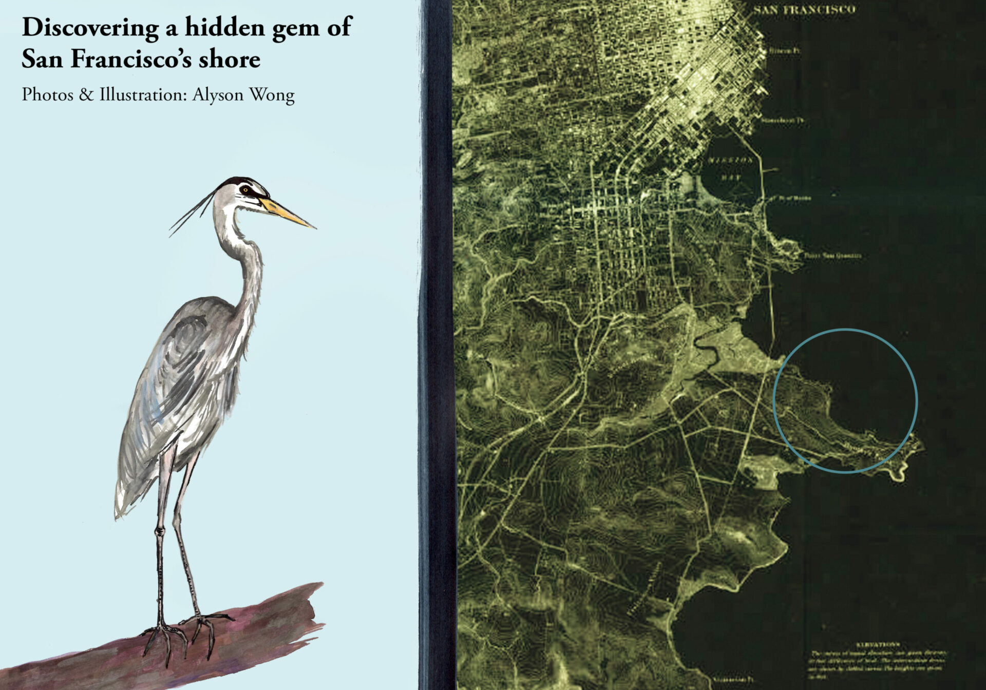
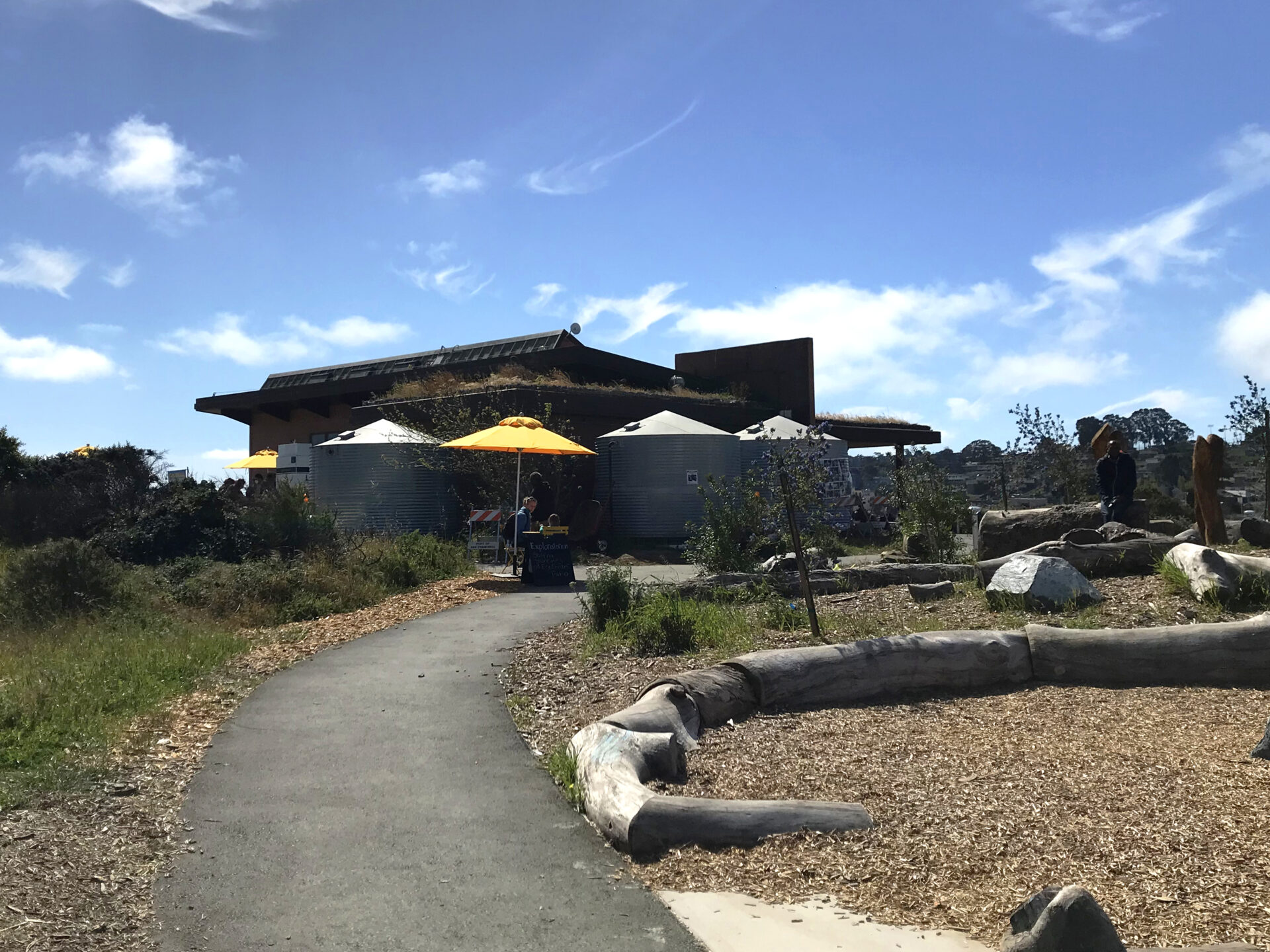
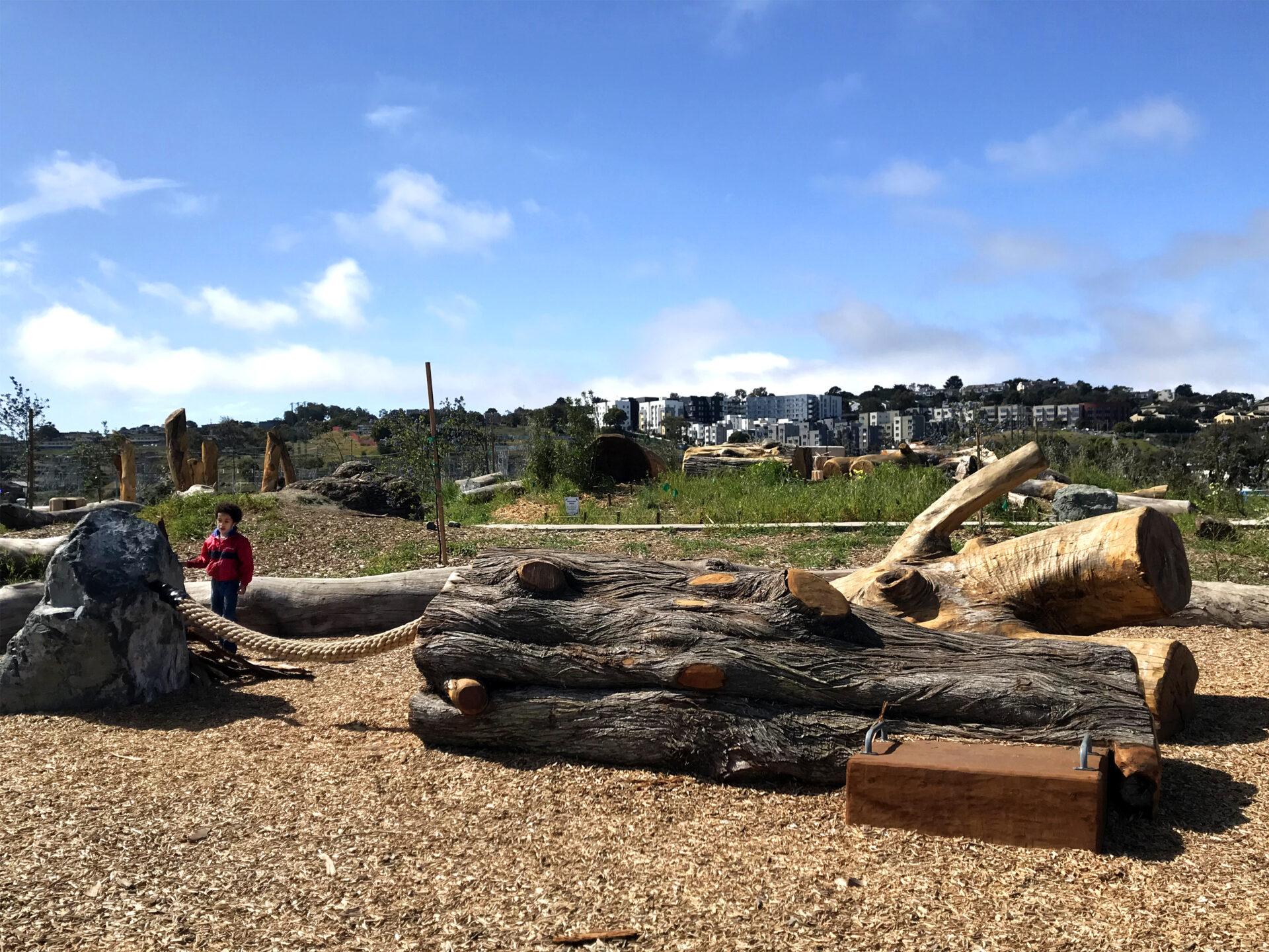
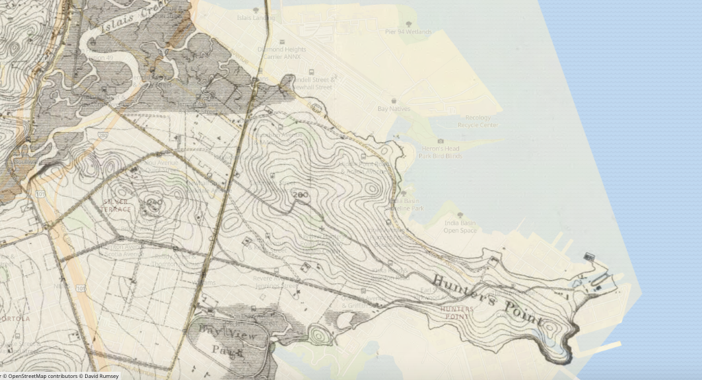
I inhaled the sweet grittiness of salt in the air. A symphony of gulls greeted me as I walked up the trail to the EcoCenter perched atop a small hill. Heron’s Head Park, named for its resemblance to a great blue heron when viewed from an aerial perspective, spreads across a 22-acre peninsula that is also home to thriving aquatic wildlife and more than 100 species of birds.
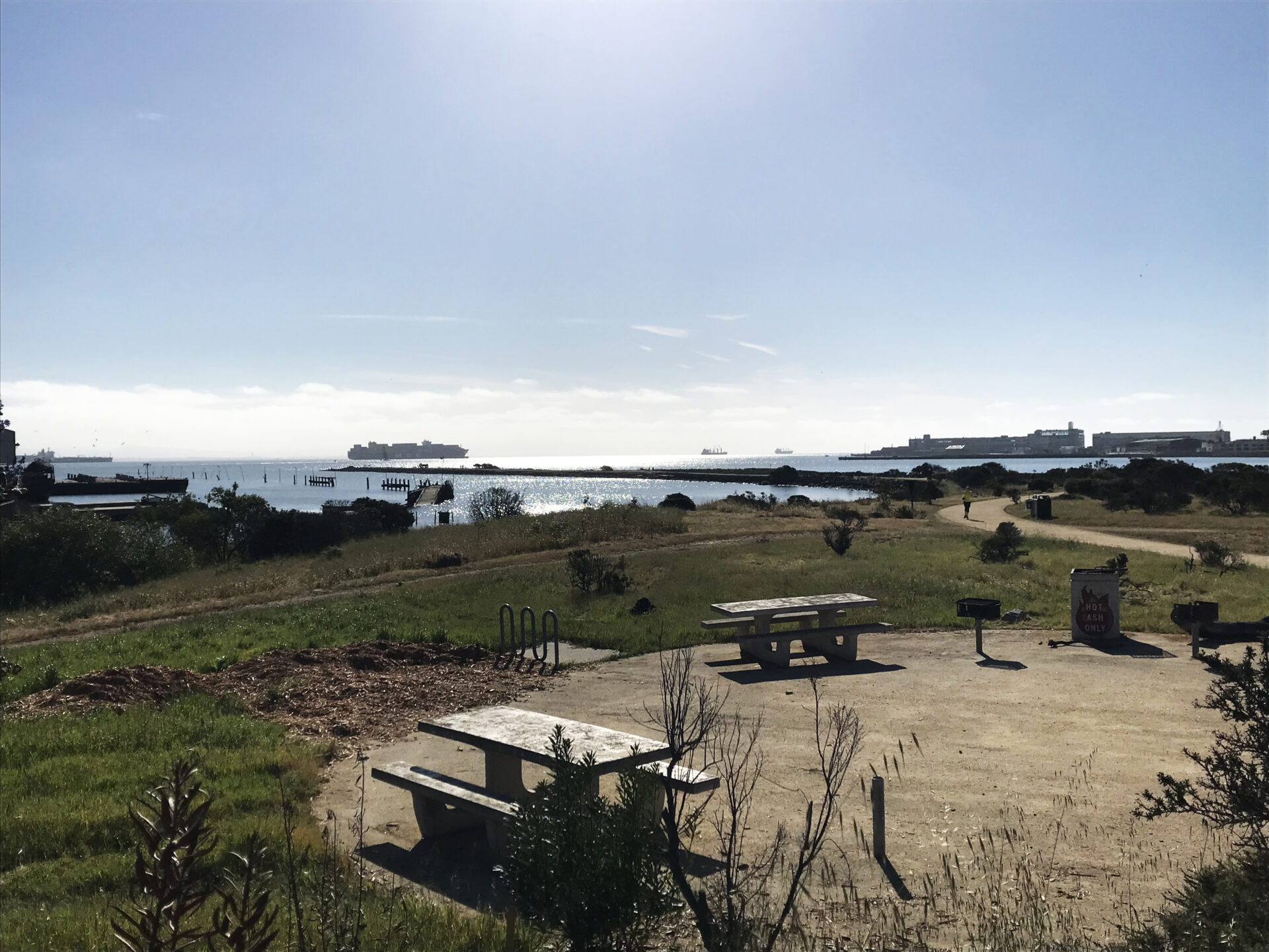
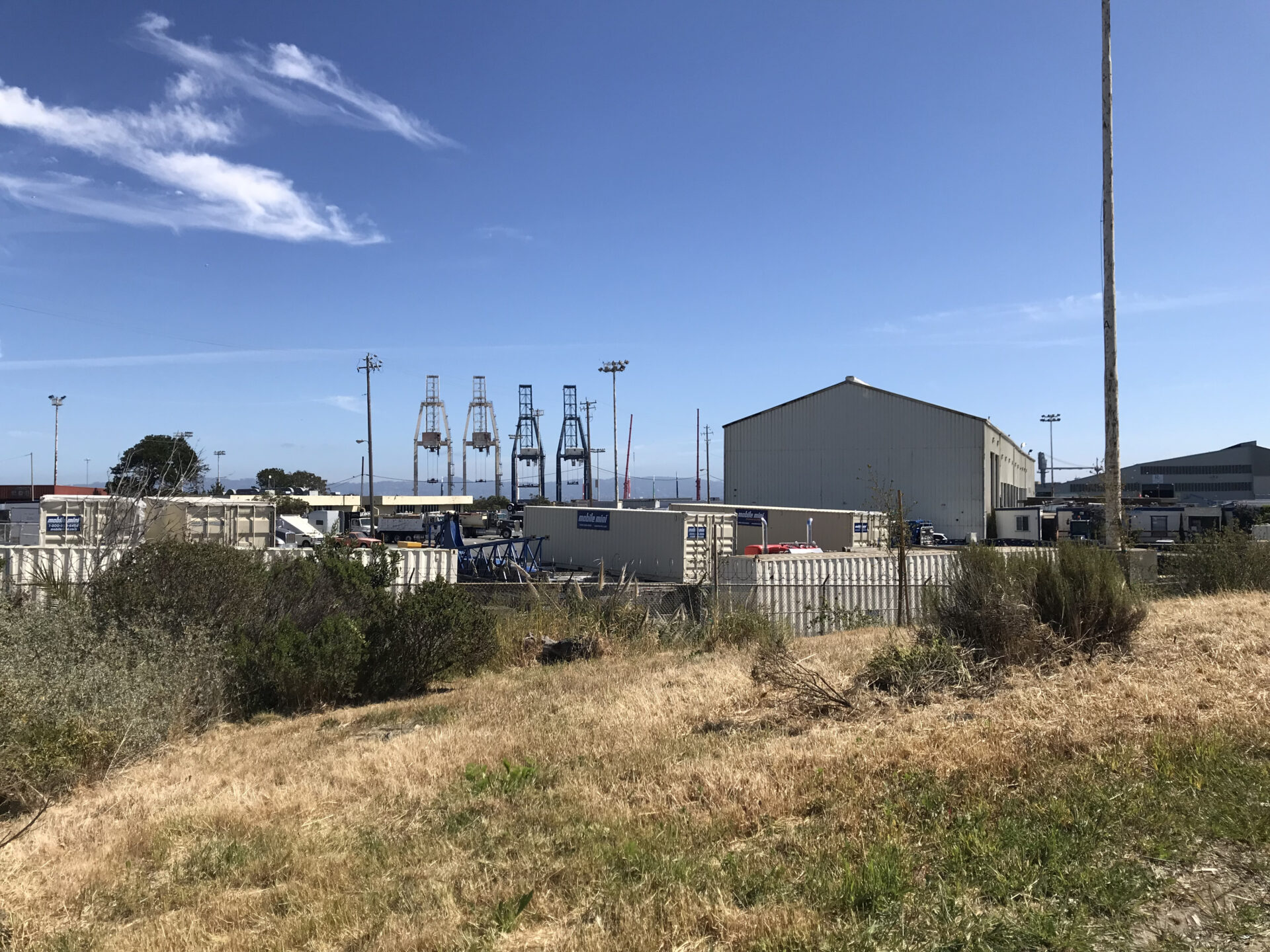
The EcoCenter at the heart of the park is a hub for year-round educational, community, and environmental learning activities. Apart from being a LEED Platinum self-sustaining building that utilizes on-site solar power via a living roof, water, and wastewater systems, the center also features an outdoor Nature Exploration Area created with input from local children. To me, the EcoCenter felt like an adaptive outgrowth of its environment, where industrial and natural life met in the pavement touching green habitats and container cranes dotting the panoramic view of the Bay and India Basin.
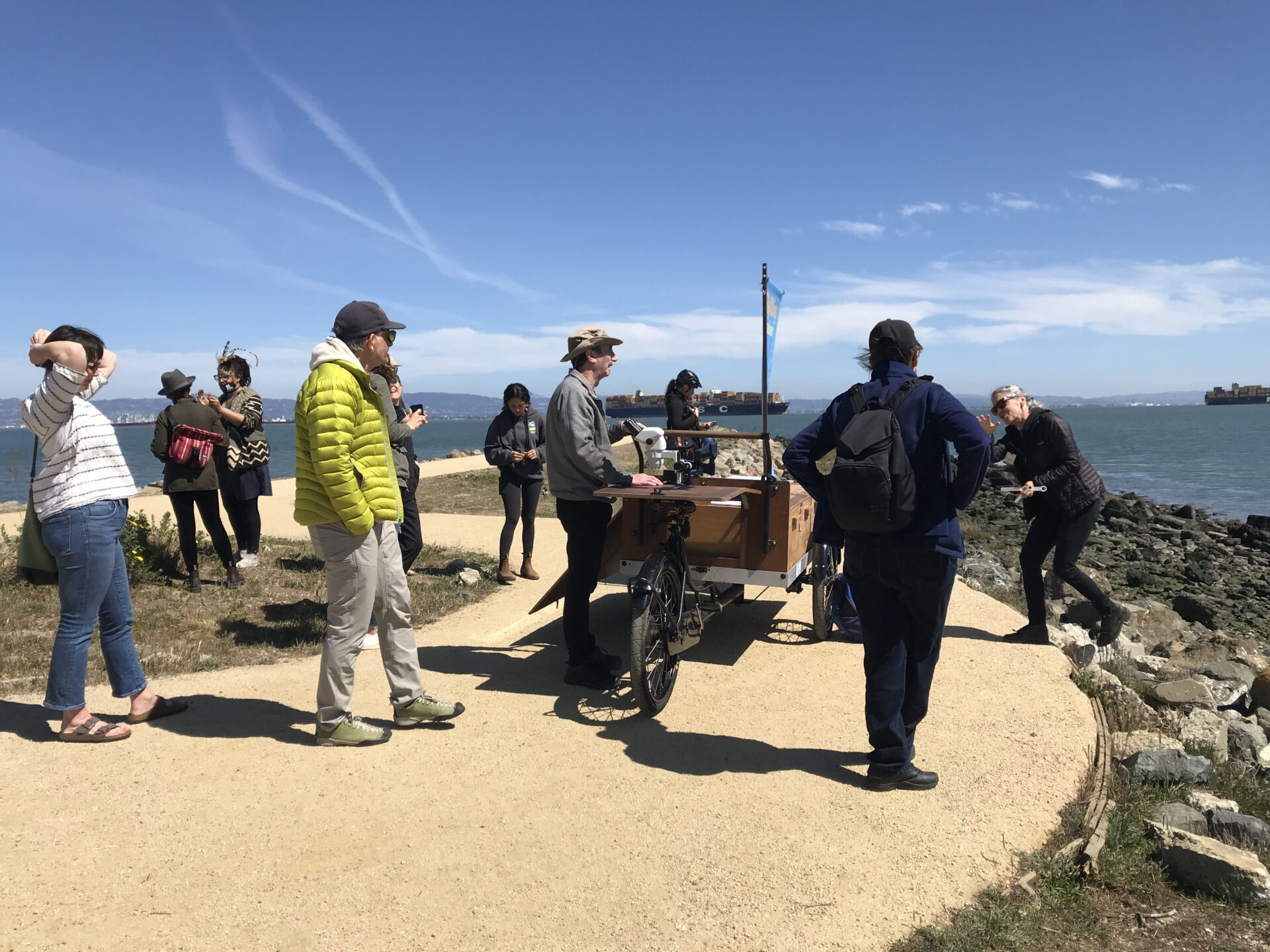
Click to see enlarged slideshow.
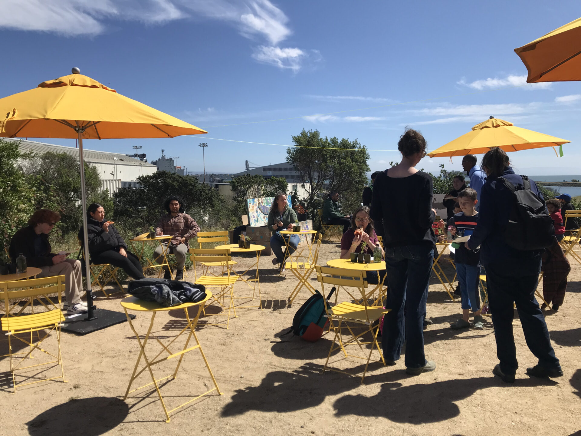
Hands-On Demonstrations
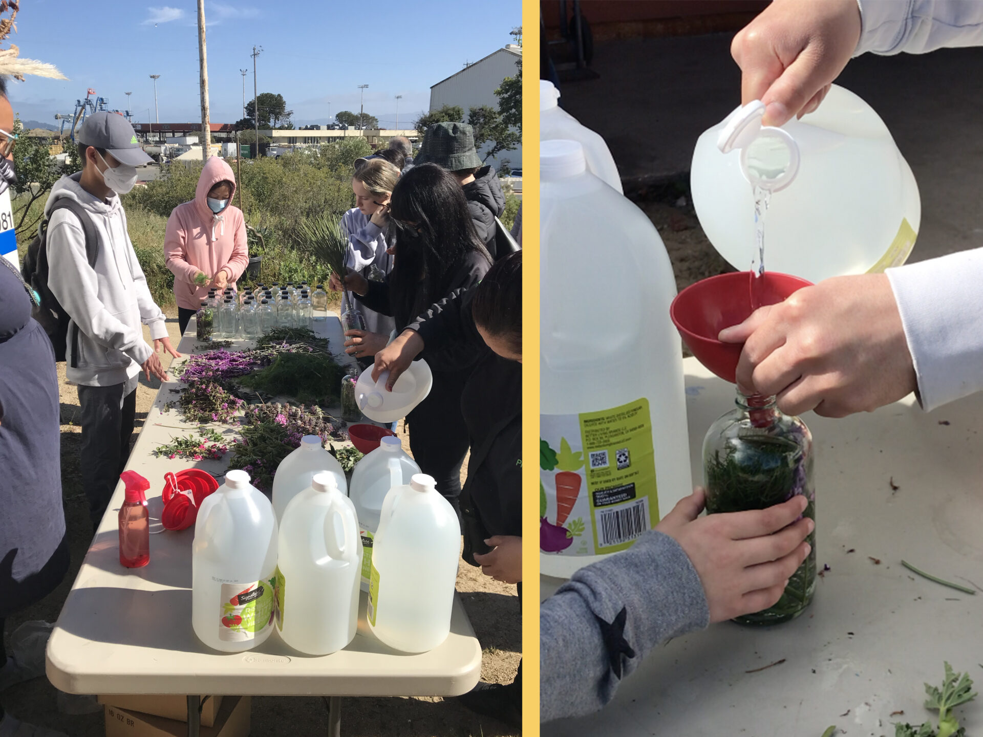
I checked out the handful of stations set up in the EcoCenter’s outdoor courtyard. I first made my way to the Mycelium Youth table, where climate justice educator Phoenix Armenta and youth leader Uzi Jaluddin showed us how to make our own natural household cleaner. Mycelium is a community-led organization that equips Bay Area youth with skills, knowledge, and stewardship practices for climate resilience. The network takes guidance from ancestral wisdom, the natural world, and indigenous traditions to empower and prepare youth to grow as leaders in climate solutions. According to high school student Jaluddin, not only is it fun to make your own natural house cleaner, but doing so is an important alternative to buying more chemicals to put under your sink. You know exactly what goes into your solution and do less damage to the environment.
I made my own for the first time by selecting herbs from the fragrant options on the table – rosemary, sage, lavender, orange peels, fennel, dill – and thereafter combined my selection with vinegar in a glass bottle. After a week, just mix 50% of the vinegar solution with 50% water in a spray bottle and your own personally made cleaner is ready to go.
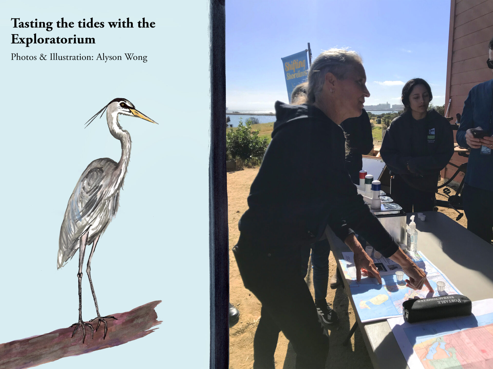
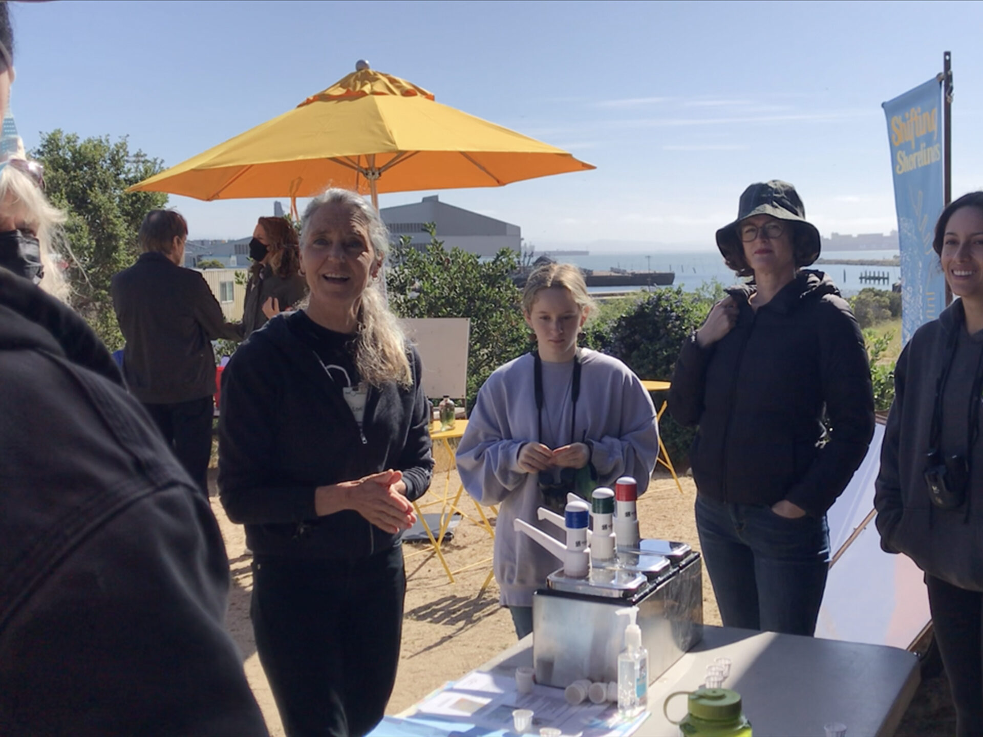
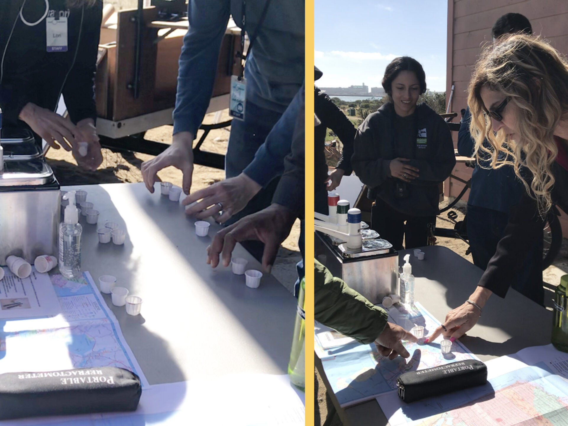
I next stopped by the Tasting the Tides station led by Exploratorium teacher Lori Lambertson. Here, other visitors and I took turns tasting salt water samples corresponding to various areas of the Bay: the Golden Gate, China Camp Beach, and Carquinez Strait. I puckered at the high salinity levels of some. The tasting prompted a discussion about the interconnected relationship between different parts of the Bay and the science behind the salinity levels of each. I felt delighted taking part in a science experiment involving the senses like this, especially as I did not know much about the Bay. Lambertson asked us two questions: “What do you notice?” and “What do you wonder?” Lambertson went on to explain that there are no wrong answers or requirements for prior science knowledge. The Exploratorium just hopes to bring people together for great conversations.
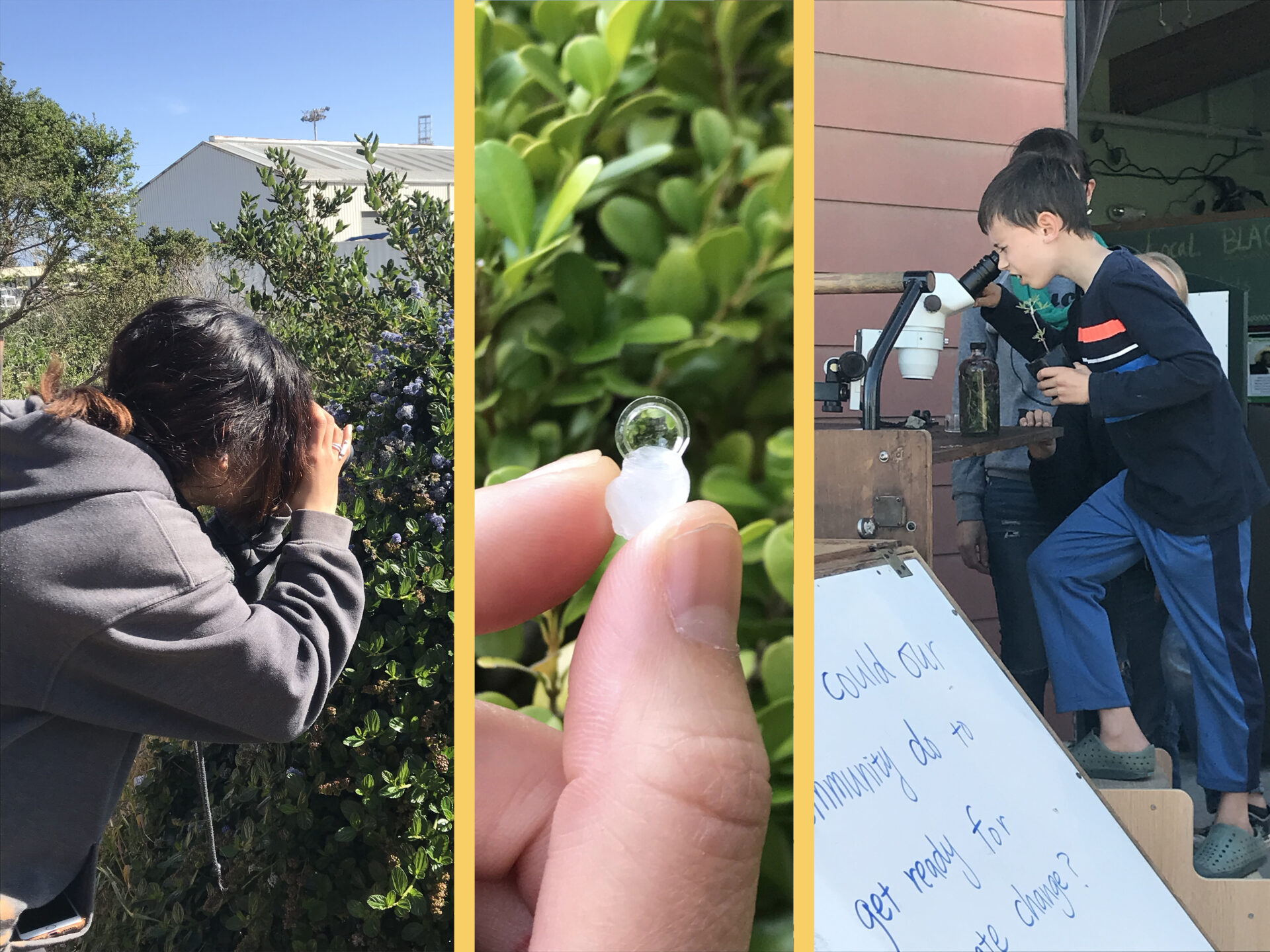
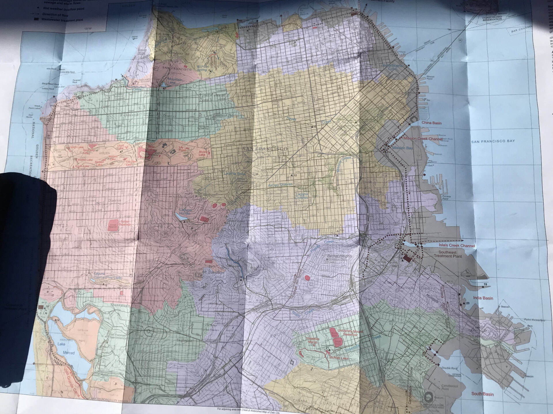
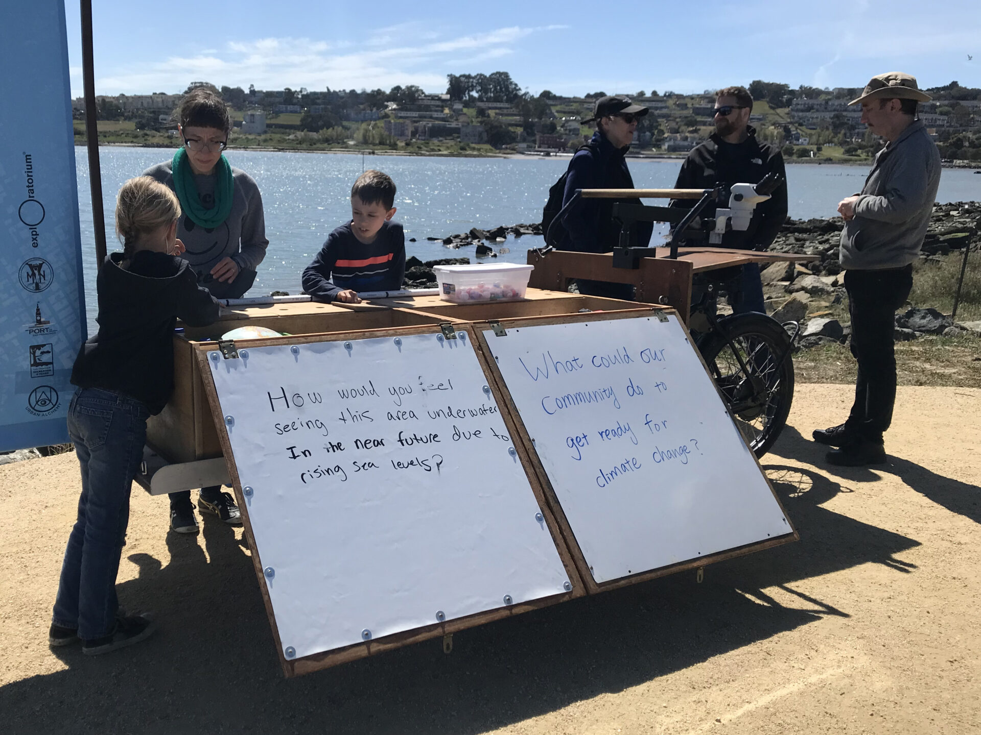
Lastly, I made my way to a cart table outfitted with many large maps inviting visitors to better acquaint themselves with our Bay. Another cart provided binoculars and microscopes that we could use to examine surrounding natural habitats or self-collected samples in close-up detail. Small portable cell-phone microscopes that you could add to a camera phone were also fun available options that I was keen to check out.
Click to see enlarged slideshow.

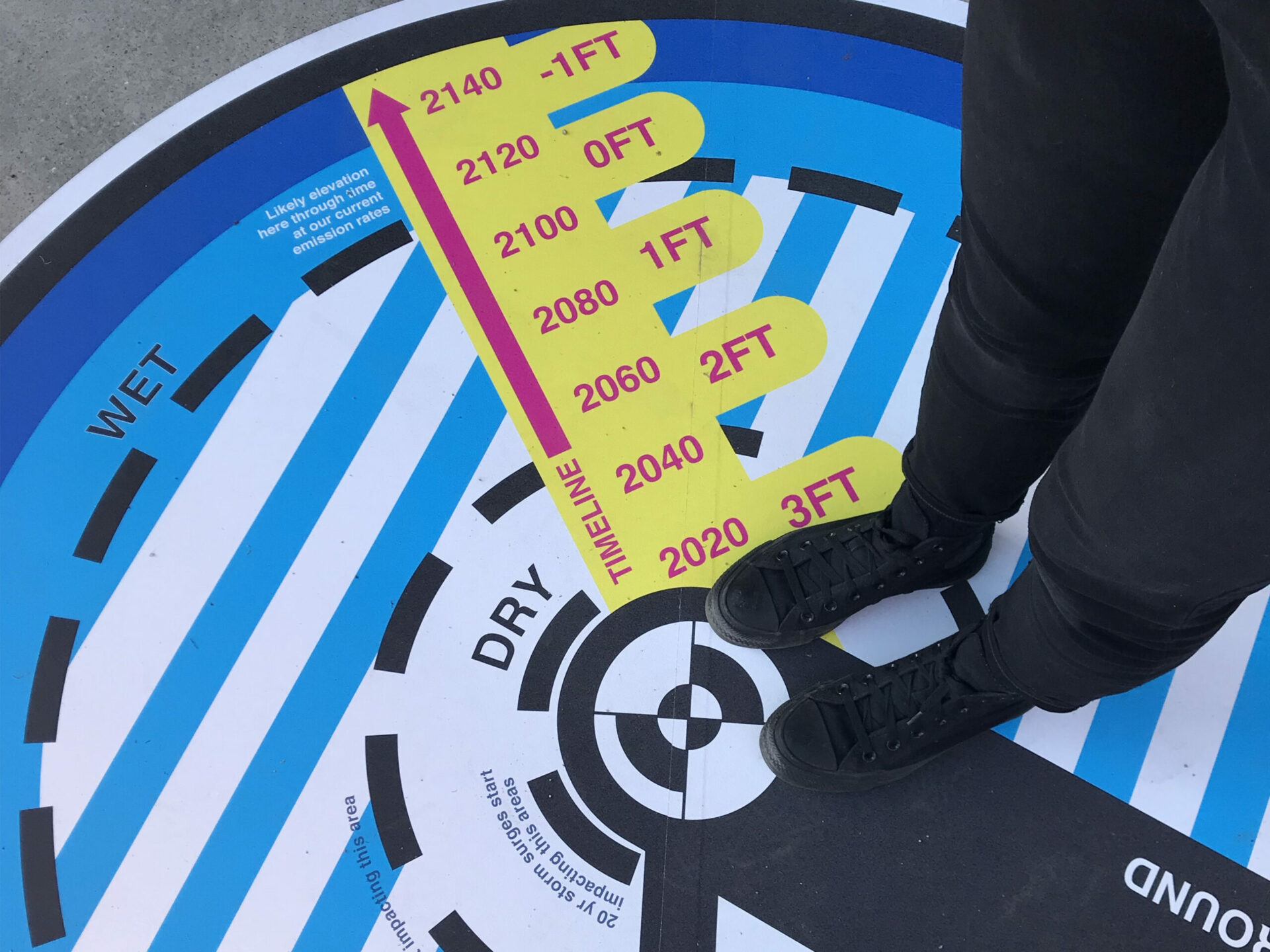
Climate Compass
A little later in the morning, a large, circular, bright-blue, yellow, and pink decal installation reminiscent of a compass rose caught my eye. The Exploratorium’s Bay Observatory paired artists and scientists together to find new ways to connect climate issues with people’s daily lives and to make specific Bay Area sea rise data more digestible. In response, artist and designer Sara Dean collaborated with scientists from RISeR (Resilient Infrastructure as Seas Rise) to create the Climate Compass.
According to Dean, the Climate Compass was a reimagined tool made to literally exist on the ground where climate change is happening. “The systems that are impacting us at these massive scales and over time are really hard to see in [our] day-to-day [lives],” she says.
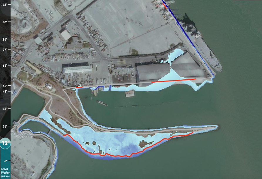
 Stepping into the center of the colorful compass oriented me to where I was located in space and in relation to Bay Area sea-level rise impacts. Looking down, I saw arrows pointing north and to higher ground away from the shore tailored in this case to Heron’s Head Park. The other colors and lines helped orient me in time. A yellow timeline extends from the center of the compass to the outer edge, revealing tide height through 2100, when the ground I am standing on will be completely underwater at current emission rates. According to the compass, 20-year storm surges like king tides are already impacting the area. By 2050, seasonal storms will begin to flood the park shore.
While the Climate Compass I experienced uses data specific to Heron’s Head Park, other installations will be implemented at four BART stations at risk of flooding from sea-level rise, as well as spots on Market Street and the Embarcadero in the near future. Dean says it’s often easy to fall into the lull of seeing “the world as a static backdrop” rather than “changing around us.” She hopes the artistic compass can orient us to the realities of climate change in an immediate and place-based way.
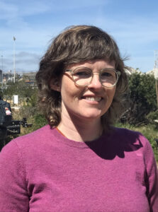
Artist Sara Dean. Photo: Alyson Wong.
Pathways for Change
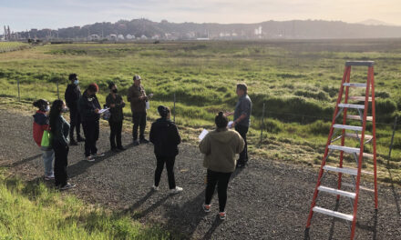
During the day, I also learned that sea level is estimated to rise one foot by 2050 and that Heron’s Head Park, one of the many waterfront locations owned by the Port of San Francisco, will be acutely affected. It was interesting to listen to the many conversations and questions that sprung up as visitors and representatives from the Exploratorium, Mycelium Youth Network, and Urban Alchemy encountered each other, wandered the park, and sampled the activities of the day. I overheard curious questions like, “What’s this?” and observed kids, teens, and adults lean in to get a closer look at buzzing demonstrations. Some chatted with a new neighbor over pizza at lunch while others took the opportunity to build a new connection during the closing trail walk. People talked about art, education, science, open space, youth, infrastructure, even the intersection of local urban streets and homelessness with environmental change, all in the context of rising seas and shifting shorelines.
The conversation and community building that naturally occurred at the event was inspiring to witness, especially for someone like myself who has often felt unsure of how to connect with such overwhelming issues or if people even care about climate change. Asian visitor turnout was not strong that day, but I could see that all people, young and old, black and brown, neighbor or organizer, were taking something new home from the event like I was. Witnessing roughly 50 participants coming from far and wide to start the conversation gave me hope.
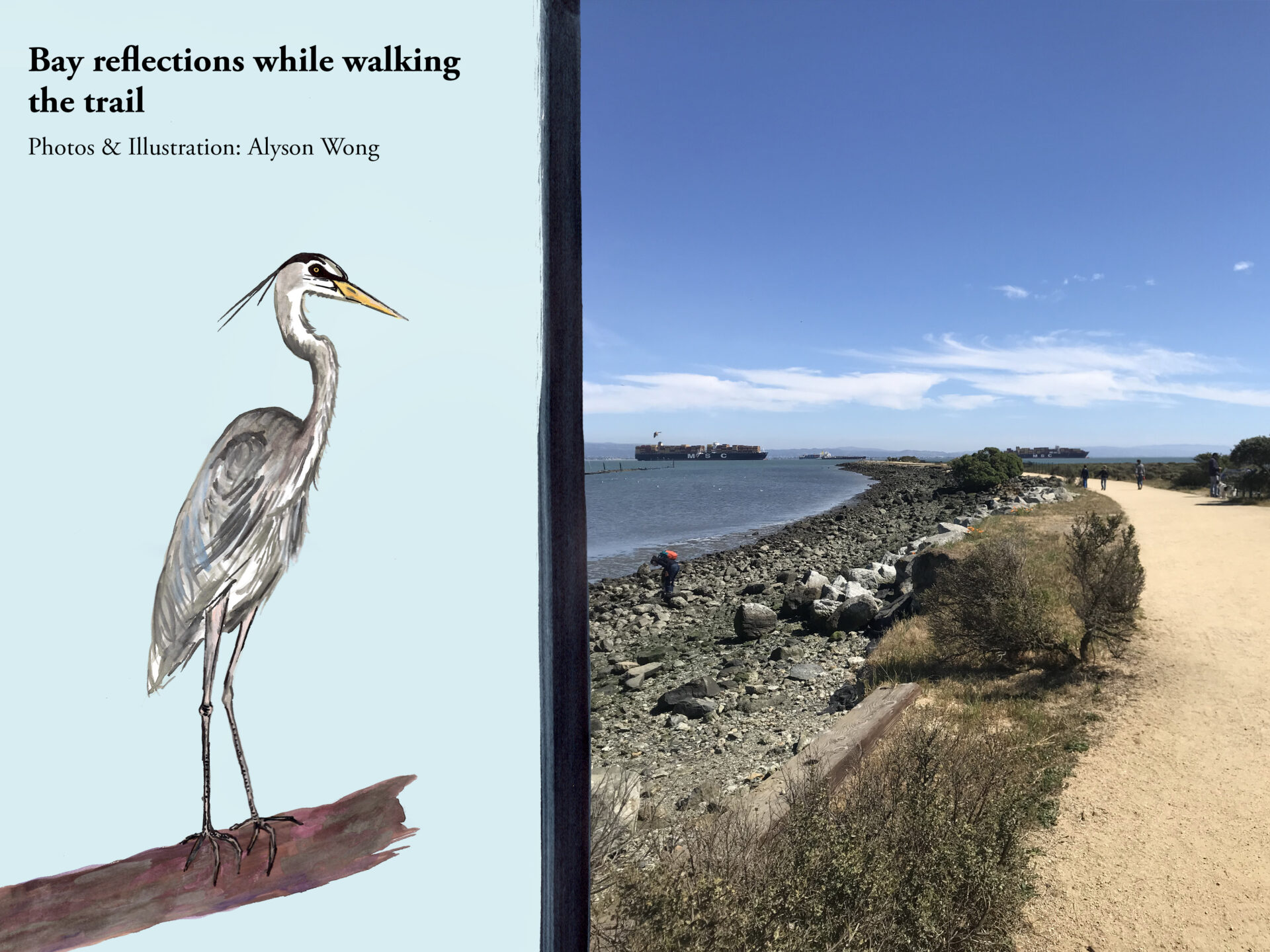
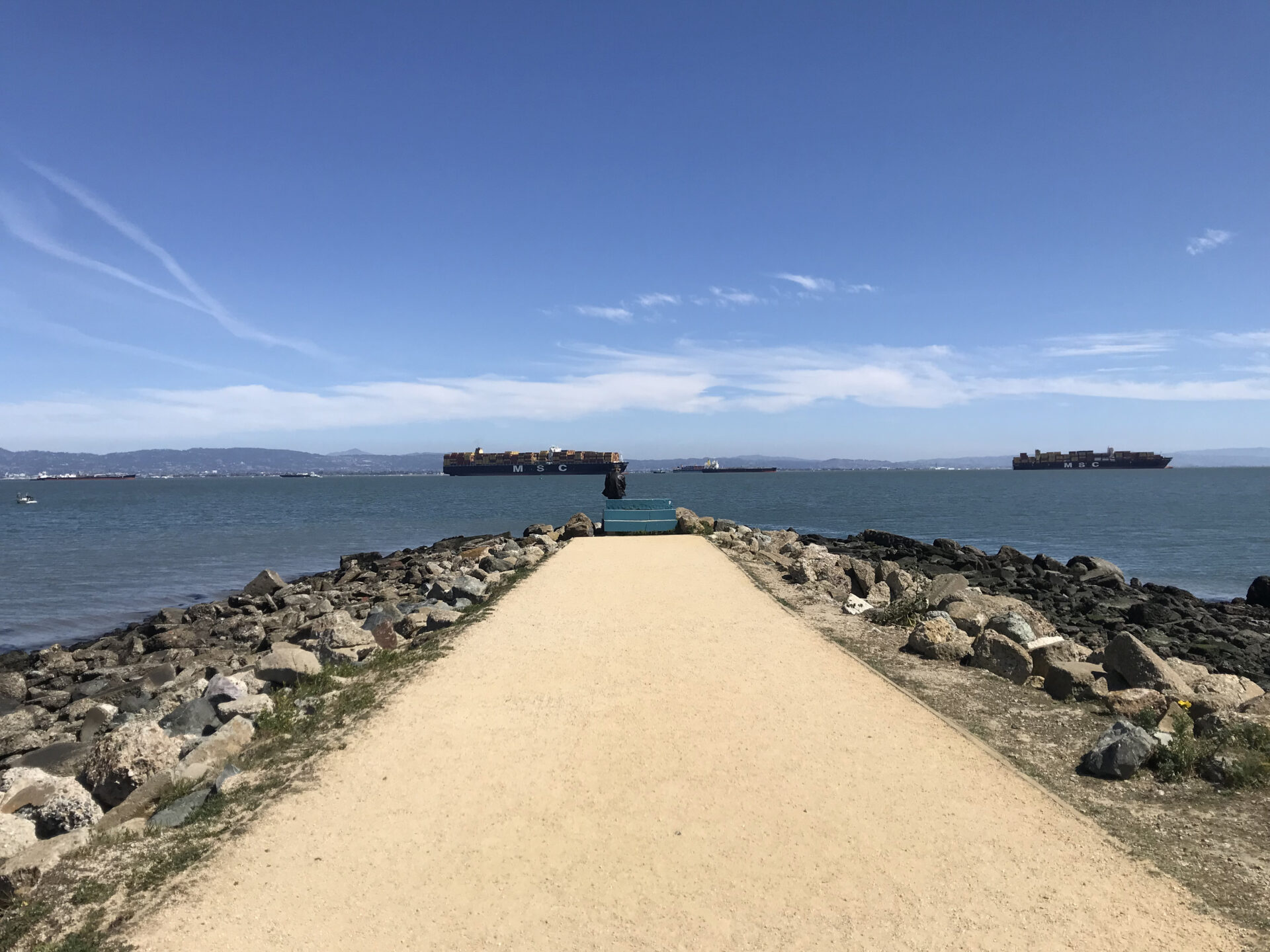
At the end of the event, we walked onto the crunchy gravel embankment of Heron’s Head Park that shoots straight out into the Bay. Lori Lambertson led the crew in what looked like a water demonstration, though I missed what it was about as I got lost in the expansive Bay view, the calm tide washing up the embankment rocks, and the invigorating fresh air around me. I relished the restorative power of immersing oneself in a flourishing native habitat on the shore.
Lambertson asked us to reflect on the scene and our conversations of the day. Birders, dog walkers, and pedestrians strolled around me. I couldn’t help but think about how much this shoreline had changed over time so I could stand there, and about what it will become.
Click to see enlarged slideshow.
