Government Initiatives
Local, regional, state and federal initiatives with a climate twist
As a region with more than 100 cities and nine counties, navigating government in the San Francisco Bay Area can be daunting. Whether it’s speaking your mind at a local city council, writing a letter to the mayor, trying to figure out who to call about dog-chasing coyotes, overgrown street trees, or clogged storm drains, it can be hard to know where to start. In terms of climate planning and action at the government level, however, here are a few insights.
The City Where You Live
Officially there are 101 cities ringing San Francisco Bay, spreading from the bayshore to foothills, and spilling over into the Livermore, Santa Clara, Napa, Sonoma and Sacramento Valleys. For a quick glance at statistics on each city check the 2020 census here.
California law requires cities to have climate action plans, easy to search for on any municipal website. But if you can’t find anything, look for department listings with names like environment, sustainability, and emergency preparedness (or for key words like recycling, stormwater, community, climate).
Climate action can be hidden in many layers of city websites. Here’s four examples: big city Oakland; small city San Rafael; North Bay Vallejo; South Bay Morgan Hill.

Nine Counties and Counting
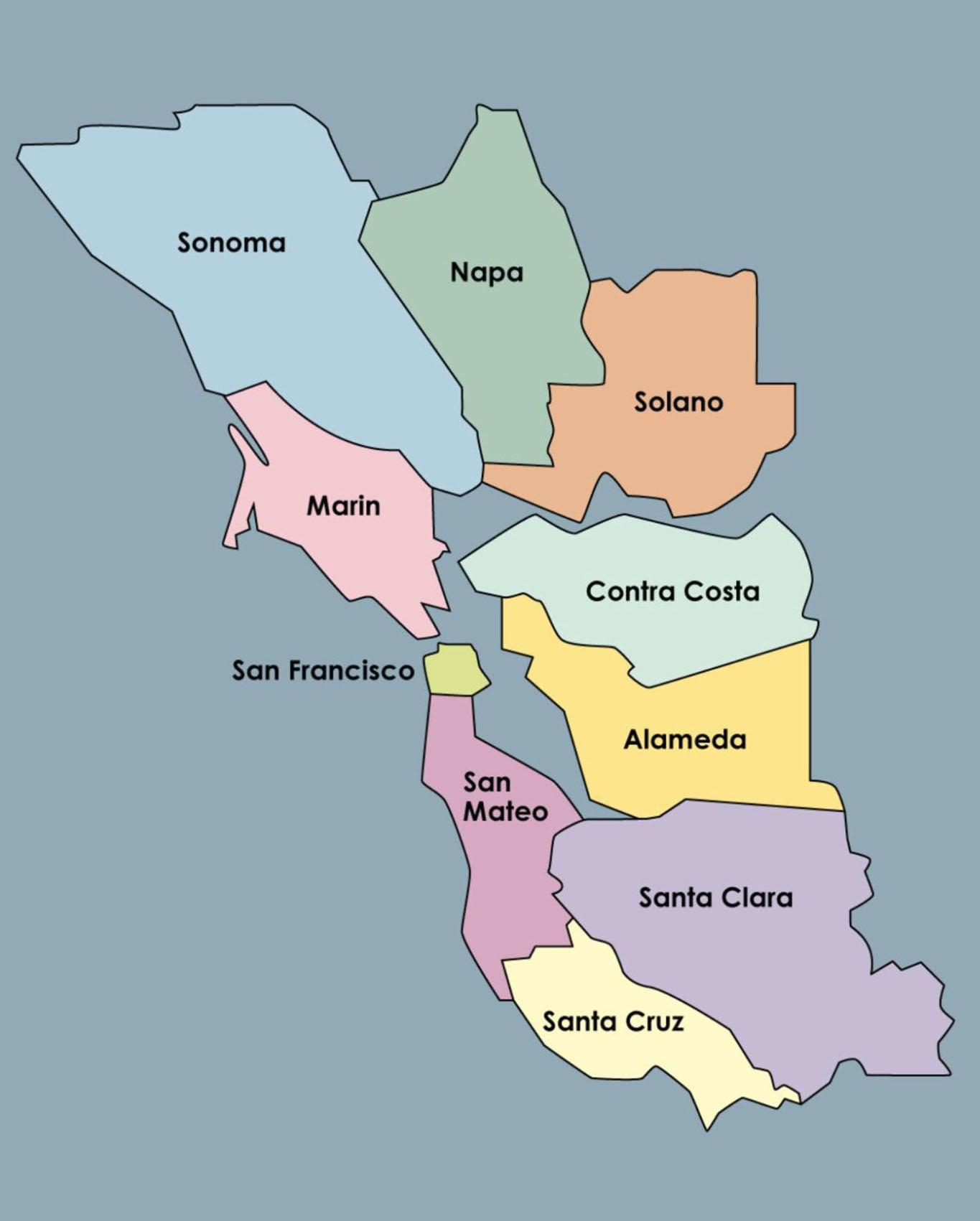
Nine counties touch San Francisco Bay and have a variety of climate action plans (required by state law to reduce emissions) and adaptation programs. You can see the rainbow of approaches here: Alameda, Contra Costa, San Francisco, San Mateo, Santa Clara, Marin, Napa, Sonoma, Solano.
Another way to get started is to check out Act Now Bay Area’s useful listings by county (2020).
For a sampling of stories about city and county climate-related initiatives explore KneeDeep Times or search by county from our main menu.
One Bay, One Region
Where people live and how they get around affects the quality of our metropolitan environment and climate resilience on a regional level. Under the umbrella of Bay Area Metro you can find our primary regional agencies involved in land use planning (ABAG) and transportation (MTC). BCDC regulates bayshore conservation and development (including addressing sea level rise) and BAAQMD manages air quality concerns (including emissions and smoke) across the region. There’s a collaborative called BARC and Plan Bay Area strives to bring all the vision together.
Several networks of local governments and organizations endeavor to coordinate climate mitigation (BayREN on energy) and adaptation (BayCAN).
Regional agencies offer this Resilience Portal where you can find maps of flood, fire, quake and drought hazard zones.

California & Federal Leads
Several state agencies play important roles in the Bay Area climate action: our coastal conservancy (SCC climate-ready) restores landscapes, preserves open space and buffer zones, and invests in nature-based infrastructure (Bay Area). Our water quality control board (SFBRWQCB) manages and regulates water pollution, sewage, and stormwater, the impacts of which are often exacerbated by climate change.
On the federal side, local leaders on hazard management and environmental resilience include the army corps (SFUSACE with projects ranging from emergency response to dredging and sediment management to waterfront resilience); the national estuary program in San Francisco (SFEP resilience); and the environmental protection agency (Region 9 USEPA).
Please note, these pages are only intended to offer a get-your-feet-wet sampling of the types of activities and resources to be found related to climate resilience in our region.


